Dieser Rundweg beginnt in Steinach und führt uns über den Juden Friedhof nach Nickersfelden, von hier aus geht es hinauf zum Lütgen und über die Schweinfürter Häuser zum Hirtenbrünnle. Von hier geht es dann wieder über Hohn zurück nach Steinach.
- Steinacher Mühlen
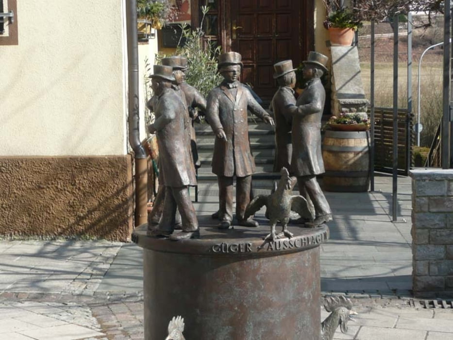
- Marktplatz mit Brunnen
- St. Nikolauskirche
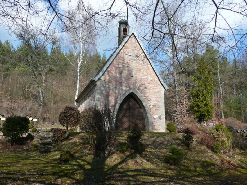
- Judenfriedhof
- Ortsbild von Nickersfelden
- Ruine Steineck
- Hirtenbrünnle im Windheimer Wald
Галерея маршрутов
Карта маршрута и высотный профиль
Minimum height 190 m
Maximum height 372 m
Комментарии

Steinach Festplatz / Sportheim
Steinach Marktplatz
GPS-Tracks
Trackpoints-
GPX / Garmin Map Source (gpx) download
-
TCX / Garmin Training Center® (tcx) download
-
CRS / Garmin Training Center® (crs) download
-
Google Earth (kml) download
-
G7ToWin (g7t) download
-
TTQV (trk) download
-
Overlay (ovl) download
-
Fugawi (txt) download
-
Kompass (DAV) Track (tk) download
-
Формуляр маршрута (pdf) download
-
Original file of the author (gpx) download
Add to my favorites
Remove from my favorites
Edit tags
Open track
My score
Rate


