


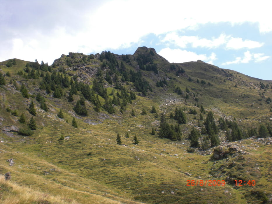
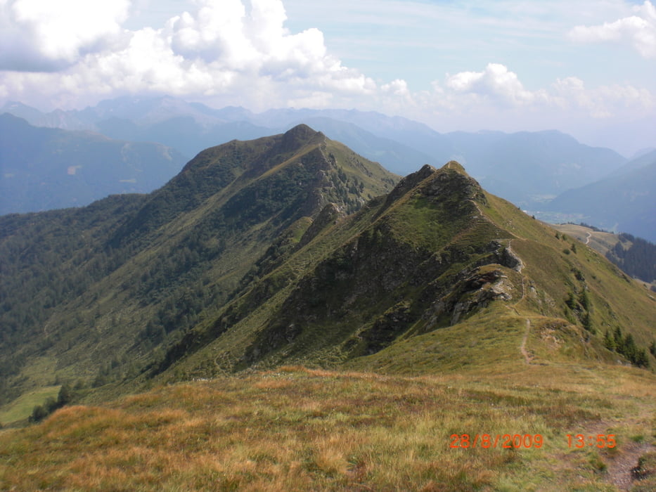
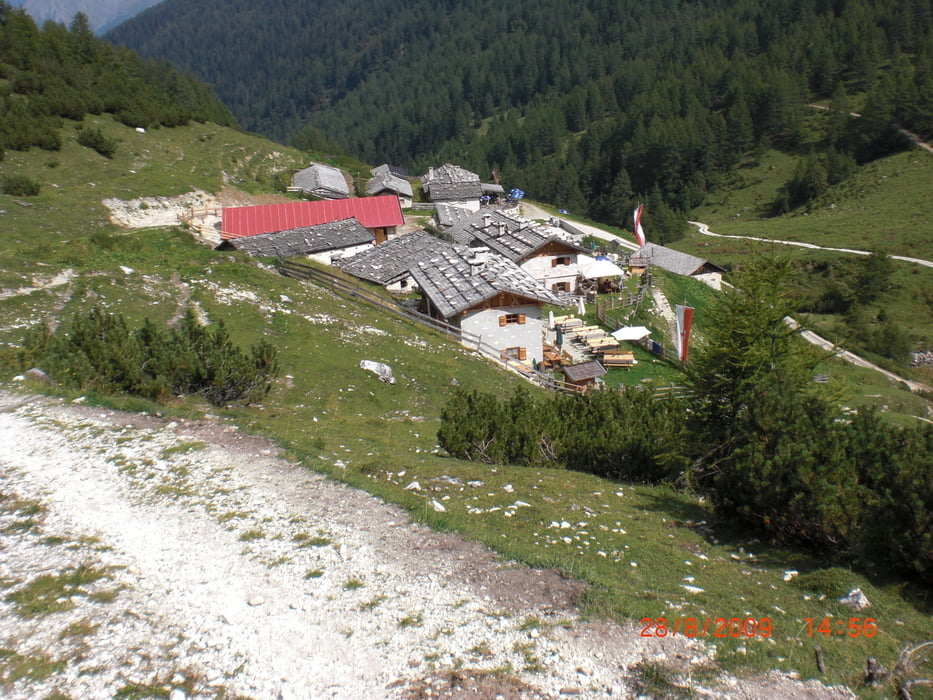
Mit der Seilbahn fahren wir auf den Rosskopf. Von der Bergstation aus gehen wir bis zum Sterzinger Haus. Hier folgen wir den Weg Nr. 23 (Ridnauner Höhenweg). An einer Weggabelung laufen wir in Richtung Ochsenscharte. Diese überqueren wir und wandern weiter zur Vallmingalm. Nach einer Stärkung mit Südtiroler Speck machen wir uns auf den Rückweg zur Bergstation. Dabei nehme wir den Weg Nr. 19 a.
Further information at
http://www.rosskopf.com/de/home.htmlgaléria trás

Mapa trasy a výškový profil
Minimum height 1798 m
Maximum height 2174 m
More about the tour author
|
|
Sira |
komentáre

GPS trasy
Trackpoints-
GPX / Garmin Map Source (gpx) download
-
TCX / Garmin Training Center® (tcx) download
-
CRS / Garmin Training Center® (crs) download
-
Google Earth (kml) download
-
G7ToWin (g7t) download
-
TTQV (trk) download
-
Overlay (ovl) download
-
Fugawi (txt) download
-
Kompass (DAV) Track (tk) download
-
list trasy (pdf) download
-
Original file of the author (gpx) download
More about the tour author
|
|
Sira |
Add to my favorites
Remove from my favorites
Edit tags
Open track
My score
Rate