Login

Si pozabil/a podatke za prijavo?

Cookies have to be accepted!
Your browser's cookie functionality is disabled. Please enable this functionality.

Not a member yet?

Register now
Login

Available for registred users only

Log in to use this feature.

Si pozabil/a podatke za prijavo?

Cookies have to be accepted!
Your browser's cookie functionality is disabled. Please enable this functionality.

Not a member yet?

Register now
Filter
Kategorije
Advanced filters
  • Dolžina (km)
  • Metri nadmorske višine
Shrani filter Reset filter

TrackRank

QRCode

Technical data

Dolžina39,1 km Metri nadmorske višine1043 m Way down1048 m Trajanje3 days 0 h Datum20.05.2012
Ocene Author Pokrajina Dejavnik zabave Kondicija Tehnika

Statistika

323 Pogledi Ocene 49 Prenosi Povprečje
Rate
  • List z izleti
  • Prihod
  • Prenosi

Wahles

Elmenthal

Wasserfall

Mommelstein (Schlangenweg)

Grenzwiese

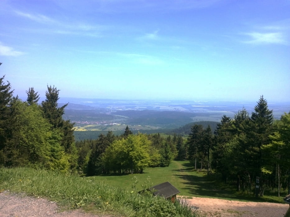
Großer Inselberg (Pflasterstraße)

Dreiherrnstein

Hohe Klinge

Hofberg

Gewerbegebiet Trusetal

Wahles

Galerija izletov

Zemljevid in višinski profil izleta

  • Open Street Map
  • Google
Minimum height 287 m Maximum height 913 m Prikaz podrobnosti

More about the tour author

bienenhase
Member since 2012

Send private message

Komentarji

Poti GPS

Trackpoints
  • GPX / Garmin Map Source (gpx) download
  • TCX / Garmin Training Center® (tcx) download
  • CRS / Garmin Training Center® (crs) download
  • Google Earth (kml) download
  • G7ToWin (g7t) download
  • TTQV (trk) download
  • Overlay (ovl) download
  • Fugawi (txt) download
  • Kompass (DAV) Track (tk) download
  • List z izleti (pdf) download
  • Original file of the author (gpx) download

More about the tour author

bienenhase
Member since 2012

Send private message
Share track
Add to my favorites
Remove from my favorites
Edit tags
My score
Rate
Izlet: Rennsteigrunde
Vrsta: Gorsko kolo
Dolžina: 39,1 km
Evaluated on:
Trajanje:
Day(s)
Hour(s)
Minute(s)
Ocena: Pokrajina Dejavnik zabave Kondicija Tehnika