Login

Si pozabil/a podatke za prijavo?

Cookies have to be accepted!
Your browser's cookie functionality is disabled. Please enable this functionality.

Not a member yet?

Register now
Login

Available for registred users only

Log in to use this feature.

Si pozabil/a podatke za prijavo?

Cookies have to be accepted!
Your browser's cookie functionality is disabled. Please enable this functionality.

Not a member yet?

Register now
Filter
Kategorije
Advanced filters
  • Dolžina (km)
  • Metri nadmorske višine
Shrani filter Reset filter

TrackRank

QRCode

Technical data

Dolžina40,3 km Metri nadmorske višine511 m Way down504 m Trajanje02:40 h:m Datum30.05.2012
Ocene Author Pokrajina Dejavnik zabave Kondicija Tehnika

Statistika

493 Pogledi Ocene 37 Prenosi Povprečje
Rate
  • List z izleti
  • Prihod
  • Prenosi

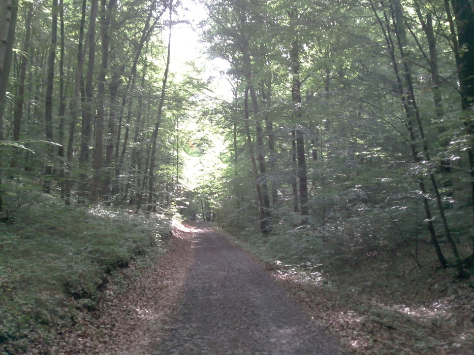
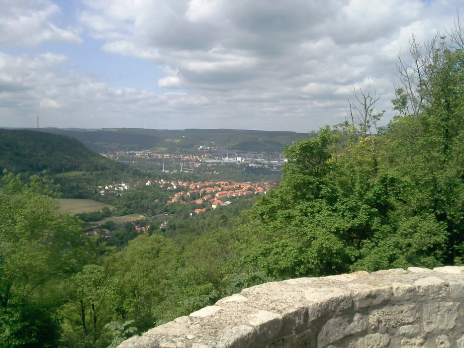
Es ist eine relativ einfache aber schöne Tour südöstlich von Jena. Der humane Aufstieg erfolgt von Wöllnitz aus durch das Pennickental, am Fürstenbrunnen vorbei bis auf die Horizontale hinauf.

Die Wege sind relativ gut befestigt, zum Teil aber auch schmale Wanderwege oder zerfahrene Forstwege. Die Tour mit einem Mountainbike zu absolvieren ist empfehlenswert.

Galerija izletov

Zemljevid in višinski profil izleta

  • Open Street Map
  • Google
Minimum height 122 m Maximum height 391 m Prikaz podrobnosti

More about the tour author

Mike3108
Member since 2012

Send private message

Komentarji

Poti GPS

Trackpoints
  • GPX / Garmin Map Source (gpx) download
  • TCX / Garmin Training Center® (tcx) download
  • CRS / Garmin Training Center® (crs) download
  • Google Earth (kml) download
  • G7ToWin (g7t) download
  • TTQV (trk) download
  • Overlay (ovl) download
  • Fugawi (txt) download
  • Kompass (DAV) Track (tk) download
  • List z izleti (pdf) download
  • Original file of the author (gpx) download

More about the tour author

Mike3108
Member since 2012

Send private message
Share track
Add to my favorites
Remove from my favorites
Edit tags
My score
Rate
Izlet: Just for Fun - die Berge von Jena
Vrsta: Gorsko kolo
Dolžina: 40,3 km
Evaluated on:
Trajanje:
Day(s)
Hour(s)
Minute(s)
Ocena: Pokrajina Dejavnik zabave Kondicija Tehnika