Login

Si pozabil/a podatke za prijavo?

Cookies have to be accepted!
Your browser's cookie functionality is disabled. Please enable this functionality.

Not a member yet?

Register now
Login

Available for registred users only

Log in to use this feature.

Si pozabil/a podatke za prijavo?

Cookies have to be accepted!
Your browser's cookie functionality is disabled. Please enable this functionality.

Not a member yet?

Register now
Filter
Kategorije
Advanced filters
  • Dolžina (km)
  • Metri nadmorske višine
Shrani filter Reset filter

TrackRank

QRCode

Technical data

Dolžina11,1 km Metri nadmorske višine262 m Way down244 m Trajanje02:30 h:m Datum11.06.2012
Ocene Author Pokrajina Dejavnik zabave Kondicija Tehnika

Statistika

376 Pogledi Ocene 22 Prenosi Povprečje
Rate
  • List z izleti
  • Prihod
  • Prenosi

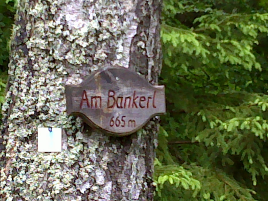
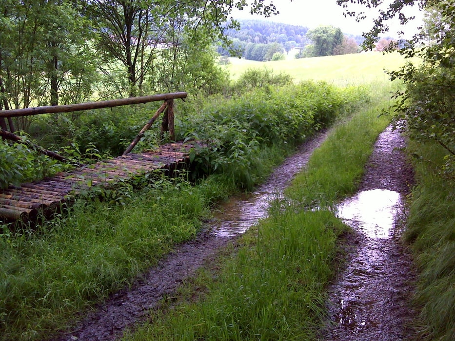
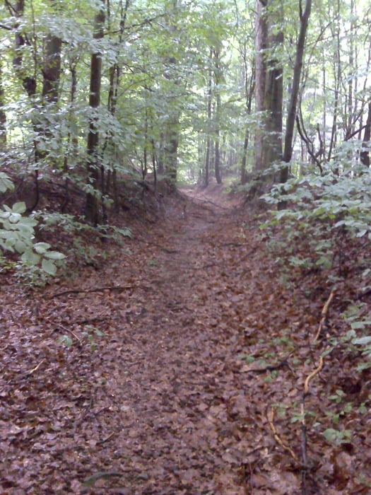
Rundwanderung überwiegend im Mischwald zwischen Reichenau und Reinhardsrieth. Genauere Beschreibung unter http://www.oberpfalznetz.de/magazin/3269612-101-an_der_grenze_im_buchenwald,1,0.html.


Galerija izletov

Zemljevid in višinski profil izleta

  • Open Street Map
  • Google
Minimum height 537 m Maximum height 698 m Prikaz podrobnosti

More about the tour author

vollgashias
Member since 2011

Send private message

Komentarji

Durch Waidhaus richtung alten Grenzübergang, nach der Gasverdichterstation auf der linken Seite geht es links weg richtung Reichenau.

Poti GPS

Trackpoints
  • GPX / Garmin Map Source (gpx) download
  • TCX / Garmin Training Center® (tcx) download
  • CRS / Garmin Training Center® (crs) download
  • Google Earth (kml) download
  • G7ToWin (g7t) download
  • TTQV (trk) download
  • Overlay (ovl) download
  • Fugawi (txt) download
  • Kompass (DAV) Track (tk) download
  • List z izleti (pdf) download
  • Original file of the author (gpx) download

More about the tour author

vollgashias
Member since 2011

Send private message
Share track
Add to my favorites
Remove from my favorites
Edit tags
My score
Rate
Izlet: Reichenau Reinhardsrieth Rundwanderung
Vrsta: Pešačenje
Dolžina: 11,1 km
Evaluated on:
Trajanje:
Day(s)
Hour(s)
Minute(s)
Ocena: Pokrajina Dejavnik zabave Kondicija Tehnika