

Hab einen ganz interessanten Aufstieg gefunden. Einige alte, grasbewachsene, aber gut befahrbare Forststraßen.
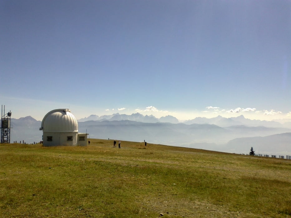
Nur ein Stück, ca. 10 Min. Schieberei durch den steilen Wald. Der Gipfel war ernüchternd, weil überbevölkert und mieses Gasthaus.
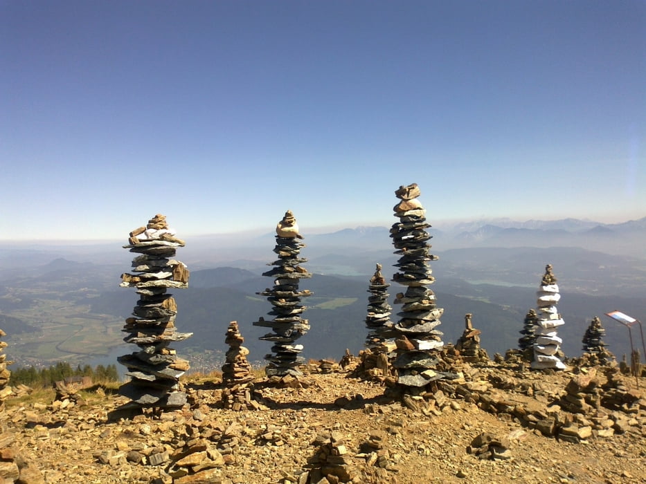
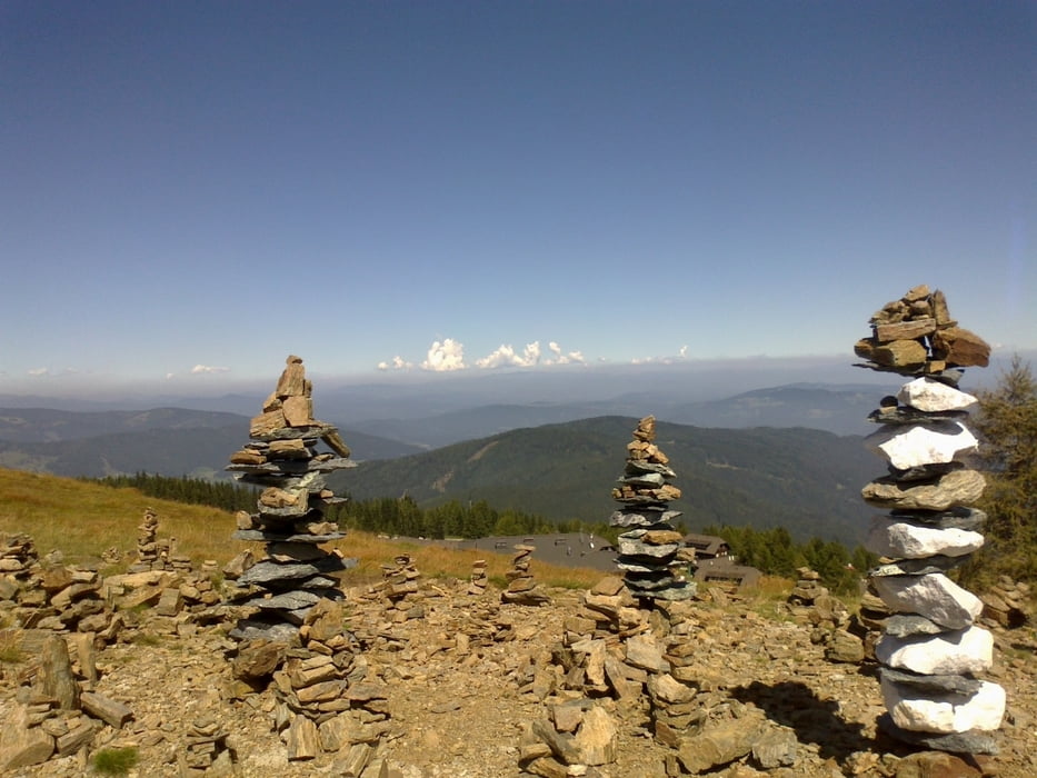
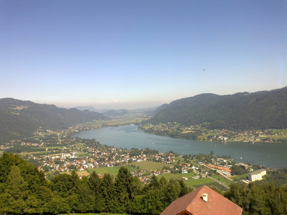
Der Ausblick auf die Seenlandschaft (Ossiacher-, Wörther-, Faakersee) allerdings ist schon großartig!
Der Radlweg dem Ossiachersee entlang nicht lustig.
Nur ein Stück, ca. 10 Min. Schieberei durch den steilen Wald. Der Gipfel war ernüchternd, weil überbevölkert und mieses Gasthaus.
Der Ausblick auf die Seenlandschaft (Ossiacher-, Wörther-, Faakersee) allerdings ist schon großartig!
Der Radlweg dem Ossiachersee entlang nicht lustig.
Galerija izletov
Zemljevid in višinski profil izleta
Minimum height 517 m
Maximum height 1914 m
More about the tour author
|
|
mitter |
Komentarji

Start in Oberdorf bei Treffen. Großer Parkplatz einer Schule.
Poti GPS
Trackpoints-
GPX / Garmin Map Source (gpx) download
-
TCX / Garmin Training Center® (tcx) download
-
CRS / Garmin Training Center® (crs) download
-
Google Earth (kml) download
-
G7ToWin (g7t) download
-
TTQV (trk) download
-
Overlay (ovl) download
-
Fugawi (txt) download
-
Kompass (DAV) Track (tk) download
-
List z izleti (pdf) download
-
Original file of the author (gpx) download
More about the tour author
|
|
mitter |
Add to my favorites
Remove from my favorites
Edit tags
Open track
My score
Rate