


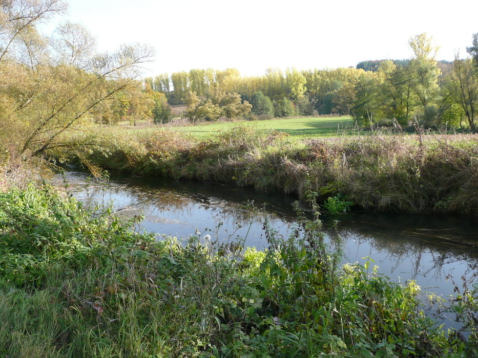
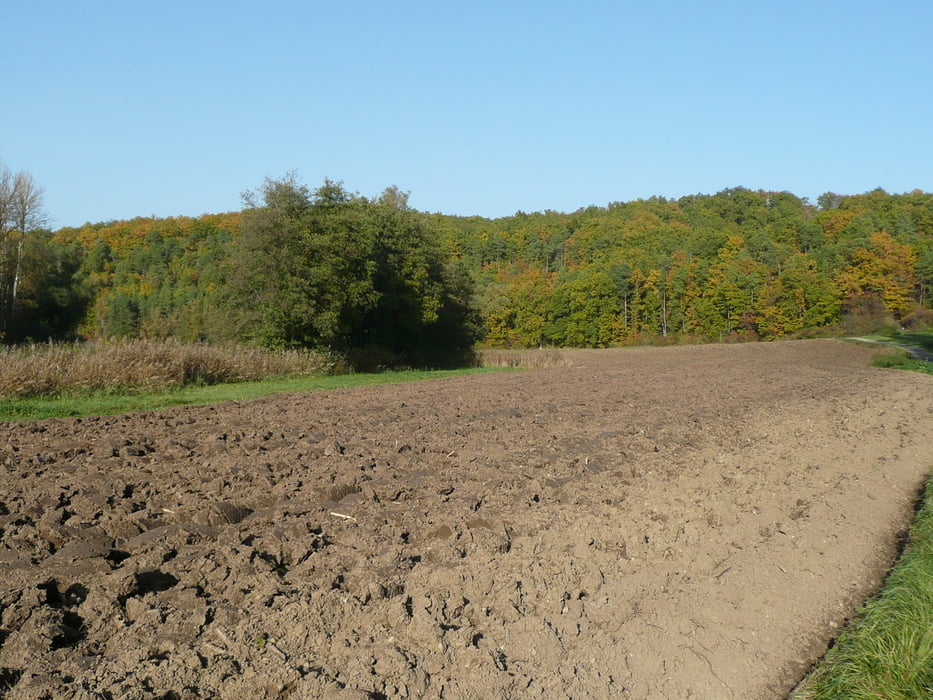
Diese Wanderung beginnnt beim Parkplatz vor Wülfershausen. Wir überqueren die Straße und laufen zur Kläranlage. Hier biegen wir Links ab und folgen den Radweg entlang der Fränkischen Saale bis nach Hollstadt. Hier biegen wir bei der Mühle links ab unterqueren die Brücke und folgen den Weg Links Richtung Sulzenberg. Hier unterqueren wir nun die Autobahn und folgen den Rundweg 4 bis zum Parkplatz.
Galerija izletov
Zemljevid in višinski profil izleta
Minimum height 224 m
Maximum height 320 m
More about the tour author
|
|
maffy |
Komentarji

Wülfershausen, Parkplatz Richtung Hollstadt in der Kurve links nach dem Autobahnzubringer Abzweig bei Wülfershausen. Ca. 50 m vom Abzweig.
Poti GPS
Trackpoints-
GPX / Garmin Map Source (gpx) download
-
TCX / Garmin Training Center® (tcx) download
-
CRS / Garmin Training Center® (crs) download
-
Google Earth (kml) download
-
G7ToWin (g7t) download
-
TTQV (trk) download
-
Overlay (ovl) download
-
Fugawi (txt) download
-
Kompass (DAV) Track (tk) download
-
List z izleti (pdf) download
-
Original file of the author (gpx) download
More about the tour author
|
|
maffy |
Add to my favorites
Remove from my favorites
Edit tags
Open track
My score
Rate