


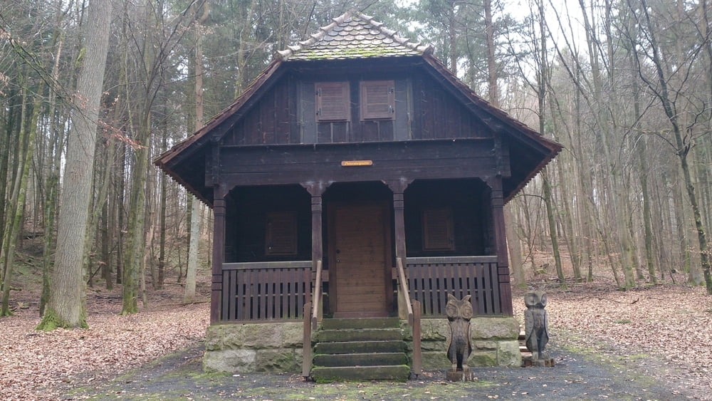
Diese Wanderung führt uns durch den Klauswald zu der Petersteinhütte und weiter durch das Kaskadental zum Wildpark und zu der Gaststätte Klaushof.
Diese Wanderung startet am Parkplatz am Klaushof. Wir folgen zunächst dem Baumlehrpfad mit alten Baumarten der bei dem Parkplatz am Kleushof beginnt.
Wir lauf dann weiter durch den Klauswald Richtung Waldabteilung Ruh und biegen ab zur Waldabteilung Liebetal.
Hier folgen wir nun den der Wegmarkierung FA Richtung Klaushof zur Petersteinhütte und weiter zum Kaskadental.
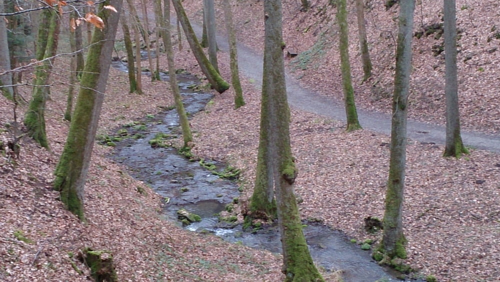
Wir laufen hier durch das Kaskadental hinauf zum Wildpark Klaushof.
Further information at
http://www.wandernimsaaletal.deGalerija izletov
Zemljevid in višinski profil izleta
Minimum height 238 m
Maximum height 408 m
More about the tour author
|
|
maffy |
Komentarji

Bad Kissingen, über die Nordbrücke Richtung Klaushof fahren.
Poti GPS
Trackpoints-
GPX / Garmin Map Source (gpx) download
-
TCX / Garmin Training Center® (tcx) download
-
CRS / Garmin Training Center® (crs) download
-
Google Earth (kml) download
-
G7ToWin (g7t) download
-
TTQV (trk) download
-
Overlay (ovl) download
-
Fugawi (txt) download
-
Kompass (DAV) Track (tk) download
-
List z izleti (pdf) download
-
Original file of the author (gpx) download
More about the tour author
|
|
maffy |
Add to my favorites
Remove from my favorites
Edit tags
Open track
My score
Rate