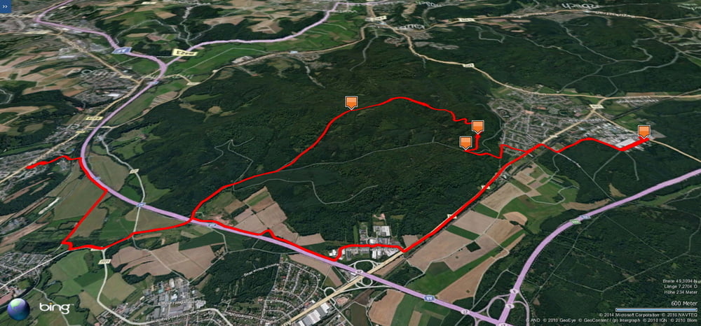
Eine eher kurze Arbeitsrunde von Schwarzenbach über Kirkel und zurück.
An diesem Tag fühlte ich mich schlecht und wollte es nicht übertreiben. Trotzdem konnte ich nicht anders und musste vom Taubenpass noch auf den Hollerstein.
Danach fuhr ich zu den 7 Fichten und von dort sehr rasant auf gutem Weg in das Taubental.
Der restliche weg war dann wieder wohlbekannt.
Further information at
http://www.kirkel.eu/Galerija izletov
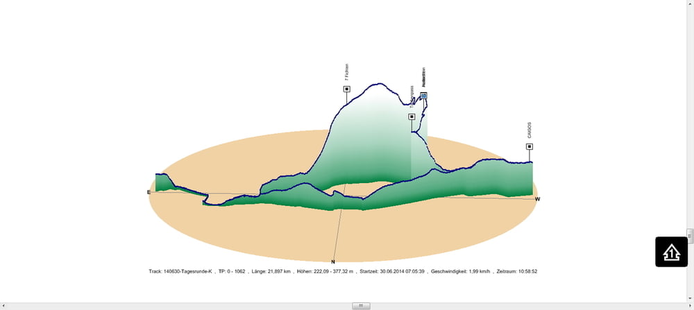
Zemljevid in višinski profil izleta
Minimum height 222 m
Maximum height 377 m
Komentarji

In Schwarzenbach geht es los.
Poti GPS
Trackpoints-
GPX / Garmin Map Source (gpx) download
-
TCX / Garmin Training Center® (tcx) download
-
CRS / Garmin Training Center® (crs) download
-
Google Earth (kml) download
-
G7ToWin (g7t) download
-
TTQV (trk) download
-
Overlay (ovl) download
-
Fugawi (txt) download
-
Kompass (DAV) Track (tk) download
-
List z izleti (pdf) download
-
Original file of the author (gpx) download
Add to my favorites
Remove from my favorites
Edit tags
Open track
My score
Rate


