


Eine technisch weniger anspruchsvolle Tagesrunde mit Start in Schwarzenbach. Ich fuhr durch das Taubental über den Taubenpass nach Kirkel-Neuhäusel.
Am Abend rollte ich zuerst über Rohrbach nach Hassel. Durch diesen Ort hindurch und dann nach Niederwürzbach. Hier dann zum Kreisverkehr und das steile Sträßchen hoch zur Motocrossstrecke.
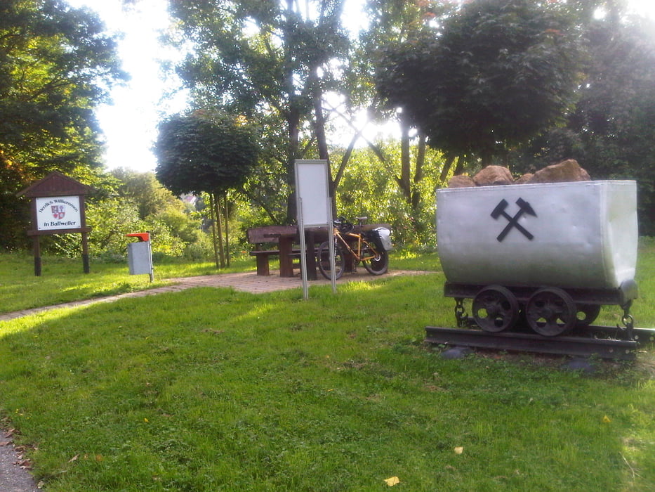
Weiter nach Biesingen und dann über Ballweiler und Wecklingen nach Blickweiler.
Der Kiosk mach eine ganz annehmbare Currywurst.
Von nun an zügig auf dem Talradweg zum Ausgangspunkt zurück.
Die Runde hat keine all zu heftigen Anstiege im Gepäck und ist somit mehr mainstream.
Further information at
https://de.wikipedia.org/wiki/BliesgauGalerija izletov


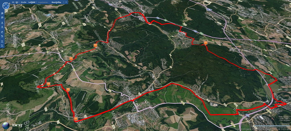
Zemljevid in višinski profil izleta
Minimum height 222 m
Maximum height 369 m
More about the tour author
|
|
Pheinz |
Komentarji

Start und Ziel in Schwarzenbach.
Poti GPS
Trackpoints-
GPX / Garmin Map Source (gpx) download
-
TCX / Garmin Training Center® (tcx) download
-
CRS / Garmin Training Center® (crs) download
-
Google Earth (kml) download
-
G7ToWin (g7t) download
-
TTQV (trk) download
-
Overlay (ovl) download
-
Fugawi (txt) download
-
Kompass (DAV) Track (tk) download
-
List z izleti (pdf) download
-
Original file of the author (gpx) download
More about the tour author
|
|
Pheinz |
Add to my favorites
Remove from my favorites
Edit tags
Open track
My score
Rate