Auf Radwegen die nicht allzu oft ohne Asphalt waren von Homburg nach Rheinland-Pfalz und zurück.
Start in Schwarzenbach und in die City von Homburg. Etwas hin und her und dann zur Post am Hauptbahnhof. Homburg nach Norden verlassen um dann in Jägersburg nach rechts wegzubrechen. Es folgen schöne Radwege mal auf Kies aber auch Asphalt.
Nach der Unterführung ein kleiner Stop an der Kirche in Vogelbach. Weiter nach Bruchmühlbach. Hier dann auf einer schmalen Steige in Die Höhe.
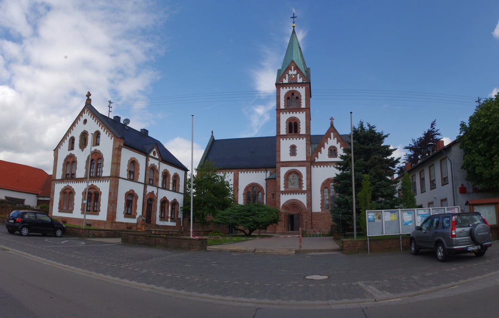
Bald ist Martinshöhe mit seiner schönen katholischen Kirche erreicht. Es folgt die Abfahrt nach Wallhalben. FDie kleine Kirche in Labach ist auf diesem Weg durchaus auch einen Stop wert.
Weter geht es auf einem netten Weg an Schmitshausen vorbei nach Battweiler und dann wieder im Tal nach Oberauerbach.
Bald darauf fand ich mich in Zweibrücken, das ich am Wasser durchquerte. Auf dem Radweg an der Autobahn und in der Bliesau war ich dann bald wieder am Ausgangspunkt.
Nette abwechslungsreiche Runde.
Further information at
https://de.wikipedia.org/wiki/Sickinger_H%C3%B6heGalerija izletov
Zemljevid in višinski profil izleta
Komentarji

Poti GPS
Trackpoints-
GPX / Garmin Map Source (gpx) download
-
TCX / Garmin Training Center® (tcx) download
-
CRS / Garmin Training Center® (crs) download
-
Google Earth (kml) download
-
G7ToWin (g7t) download
-
TTQV (trk) download
-
Overlay (ovl) download
-
Fugawi (txt) download
-
Kompass (DAV) Track (tk) download
-
List z izleti (pdf) download
-
Original file of the author (gpx) download


