Ich fuhr meinen gut bekannten Weg durch das Blies- und Taubental über den Taubenpass nach Kirkel-Neuhäusel.
Weil ich einen schönen Tag schloss ich mit einer Fahrt das Taubental hinunter nach Lautzkirchen und Blieskastel. Über die Brücke erreichte ich Webenheim und nahm dann den Anstieg auf die Höhe unter die Räder.
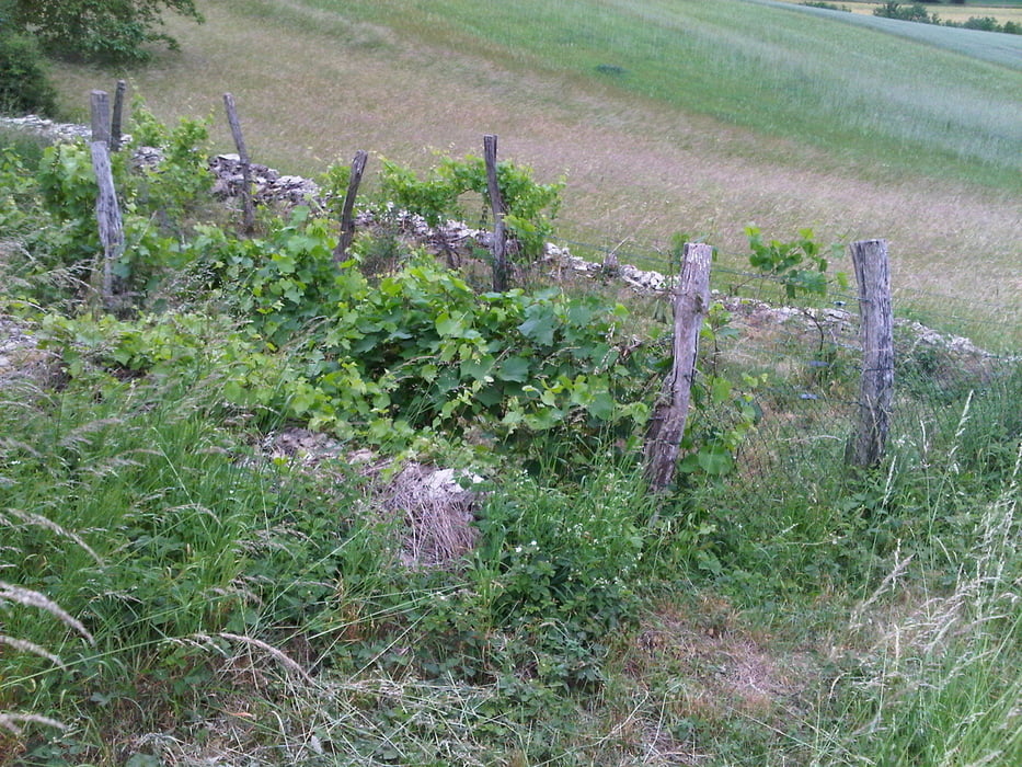
Fast oben angekommen legte ich auf der Suche nach neuen Varianten eine Schleife ein und fand grasige Passagen und einen winzigen Weinberg.
Ich ließ Wattweiler links liegen indem ich östlich des Ortes durch den Wald fuhr. Anschließend fuhr ich einen schönen Abschnitt in das Tal hinunter und fand den Rückweg über Einöd und das Bliestal zum Ausgangspunkt.
Further information at
https://de.wikipedia.org/wiki/BliesgauGalerija izletov
Zemljevid in višinski profil izleta
Minimum height 225 m
Maximum height 407 m
Komentarji

Start und Ziel in Schwarzenbach.
Poti GPS
Trackpoints-
GPX / Garmin Map Source (gpx) download
-
TCX / Garmin Training Center® (tcx) download
-
CRS / Garmin Training Center® (crs) download
-
Google Earth (kml) download
-
G7ToWin (g7t) download
-
TTQV (trk) download
-
Overlay (ovl) download
-
Fugawi (txt) download
-
Kompass (DAV) Track (tk) download
-
List z izleti (pdf) download
-
Original file of the author (gpx) download
Add to my favorites
Remove from my favorites
Edit tags
Open track
My score
Rate

