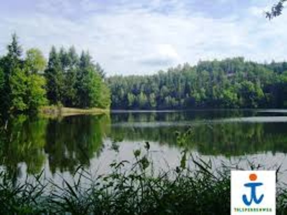
Kurze Strecke, aber total schön und knackig.
Es handelt sich hier um einen Wanderweg, bitte Vorsicht und auf Wanderer achten!!!!! Sehr schmale Pfade (Hintereinanderwege) Viele Pfade mit Hanglage! Kurze und knackige Anstiege, es gibt auch Treppen und Brücken. Bei Feuchtigkeit Achtung! sehr rutschig. Wunderschöne Blicke auf die Talsperre, vorallem im Herbst. Schöne Assicht vom Teufelsberg.
Galerija izletov
Zemljevid in višinski profil izleta
Minimum height 297 m
Maximum height 411 m
Komentarji

Poti GPS
Trackpoints-
GPX / Garmin Map Source (gpx) download
-
TCX / Garmin Training Center® (tcx) download
-
CRS / Garmin Training Center® (crs) download
-
Google Earth (kml) download
-
G7ToWin (g7t) download
-
TTQV (trk) download
-
Overlay (ovl) download
-
Fugawi (txt) download
-
Kompass (DAV) Track (tk) download
-
List z izleti (pdf) download
-
Original file of the author (gpx) download
Add to my favorites
Remove from my favorites
Edit tags
Open track
My score
Rate


