


Ich wanderte zum Feierabend zuerst durch den Ort Kirkel-Neuhäusel hindurch wobei ich mich im WASGAU-Markt versorgte.
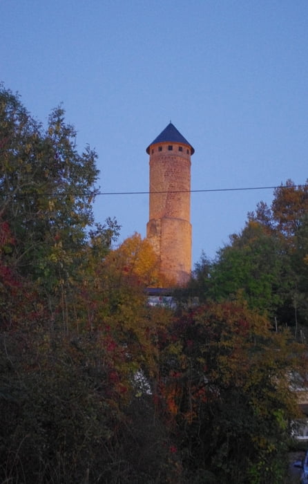
Anschließend wanderte ich unterhalb des Burgberges bergan um dann durch den Wald zum Hollerstein hinaufzusteigen. Leider wächst die schöne Aussicht langsam zu.
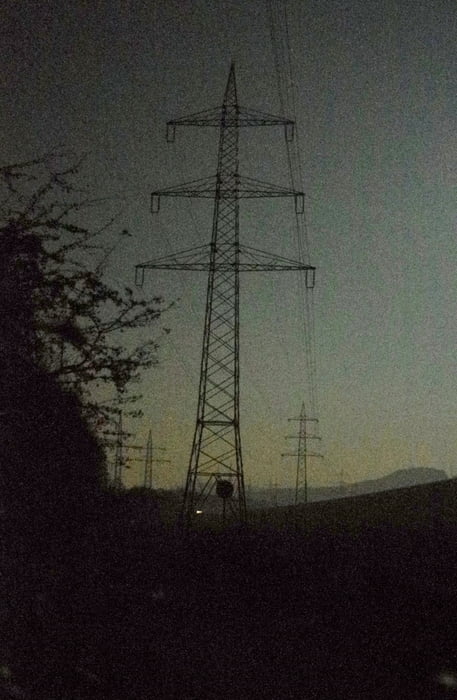
Mein Weiterweg führte mich bei Dunkelheit ein Stück über den Felsenpfad. Zum Glück hatte ich genügend Licht mitgebracht.
Mein Weg führte mich anschließend an den sieben Fichten vorbei. Dort bog ich etwas abfallend ab, passierte eine Waldhütte und erreichte anschließend das Taubental durch das ich dann unter der Autobahn A8 hindurchgieng.
Der restliche Weg verlief auf dem Radweg durch das Bliestal nach Homburg-Schwarzenbach.
Further information at
https://de.wikipedia.org/wiki/Saarpfalz-KreisGalerija izletov
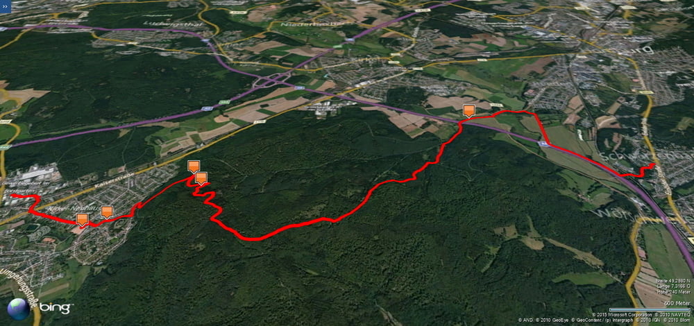
Zemljevid in višinski profil izleta
Minimum height 210 m
Maximum height 362 m
More about the tour author
|
|
Pheinz |
Komentarji

Im Gewerbegebiet von Kirkel-Neuhäusel geht es los.
Poti GPS
Trackpoints-
GPX / Garmin Map Source (gpx) download
-
TCX / Garmin Training Center® (tcx) download
-
CRS / Garmin Training Center® (crs) download
-
Google Earth (kml) download
-
G7ToWin (g7t) download
-
TTQV (trk) download
-
Overlay (ovl) download
-
Fugawi (txt) download
-
Kompass (DAV) Track (tk) download
-
List z izleti (pdf) download
-
Original file of the author (gpx) download
More about the tour author
|
|
Pheinz |
Add to my favorites
Remove from my favorites
Edit tags
Open track
My score
Rate