Login

Si pozabil/a podatke za prijavo?

Cookies have to be accepted!
Your browser's cookie functionality is disabled. Please enable this functionality.

Not a member yet?

Register now
Login

Available for registred users only

Log in to use this feature.

Si pozabil/a podatke za prijavo?

Cookies have to be accepted!
Your browser's cookie functionality is disabled. Please enable this functionality.

Not a member yet?

Register now
Filter
Kategorije
Advanced filters
  • Dolžina (km)
  • Metri nadmorske višine
Shrani filter Reset filter

TrackRank

QRCode

Technical data

Dolžina198,7 km Metri nadmorske višine2146 m Way down2561 m Trajanje00:00 h:m Datum20.06.2016
Ocene Author Pokrajina Dejavnik zabave Kondicija Tehnika

Statistika

295 Pogledi Ocene 27 Prenosi Povprečje
Rate
  • List z izleti
  • Prihod
  • Prenosi

Eine nette Tour mit Freunden für mehrere Tage


Galerija izletov

Zemljevid in višinski profil izleta

  • Open Street Map
  • Google
Minimum height 510 m Maximum height 957 m Prikaz podrobnosti

More about the tour author

Georg23
Member since 2010

Send private message

Komentarji

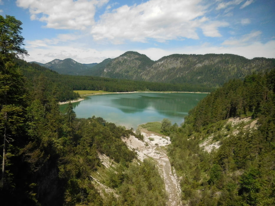
Gestartet wird im Ort Achenkirch am Achensee in Tirol


Poti GPS

Trackpoints
  • GPX / Garmin Map Source (gpx) download
  • TCX / Garmin Training Center® (tcx) download
  • CRS / Garmin Training Center® (crs) download
  • Google Earth (kml) download
  • G7ToWin (g7t) download
  • TTQV (trk) download
  • Overlay (ovl) download
  • Fugawi (txt) download
  • Kompass (DAV) Track (tk) download
  • List z izleti (pdf) download
  • Original file of the author (gpx) download

More about the tour author

Georg23
Member since 2010

Send private message
Share track
Add to my favorites
Remove from my favorites
Edit tags
My score
Rate
Izlet: Von Achenkirch über Garmisch nach Kufstein
Vrsta: Treking kolo
Dolžina: 198,7 km
Evaluated on:
Trajanje:
Day(s)
Hour(s)
Minute(s)
Ocena: Pokrajina Dejavnik zabave Kondicija Tehnika