Login

Si pozabil/a podatke za prijavo?

Cookies have to be accepted!
Your browser's cookie functionality is disabled. Please enable this functionality.

Not a member yet?

Register now
Login

Available for registred users only

Log in to use this feature.

Si pozabil/a podatke za prijavo?

Cookies have to be accepted!
Your browser's cookie functionality is disabled. Please enable this functionality.

Not a member yet?

Register now
Filter
Kategorije
Advanced filters
  • Dolžina (km)
  • Metri nadmorske višine
Shrani filter Reset filter

TrackRank

QRCode

Technical data

Dolžina11,0 km Metri nadmorske višine259 m Way down256 m Trajanje00:00 h:m Datum01.10.2016
Ocene Author Pokrajina Dejavnik zabave Kondicija Tehnika

Statistika

214 Pogledi Ocene 39 Prenosi Povprečje
Rate
  • List z izleti
  • Prihod
  • Prenosi
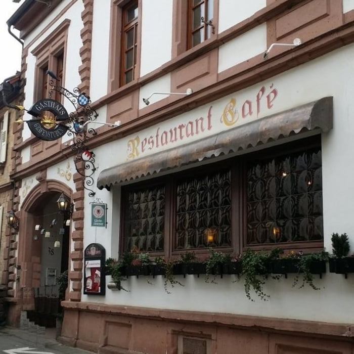
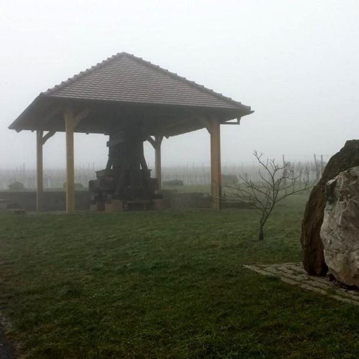
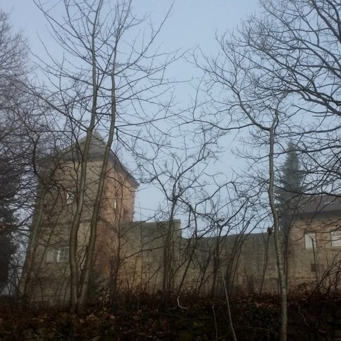
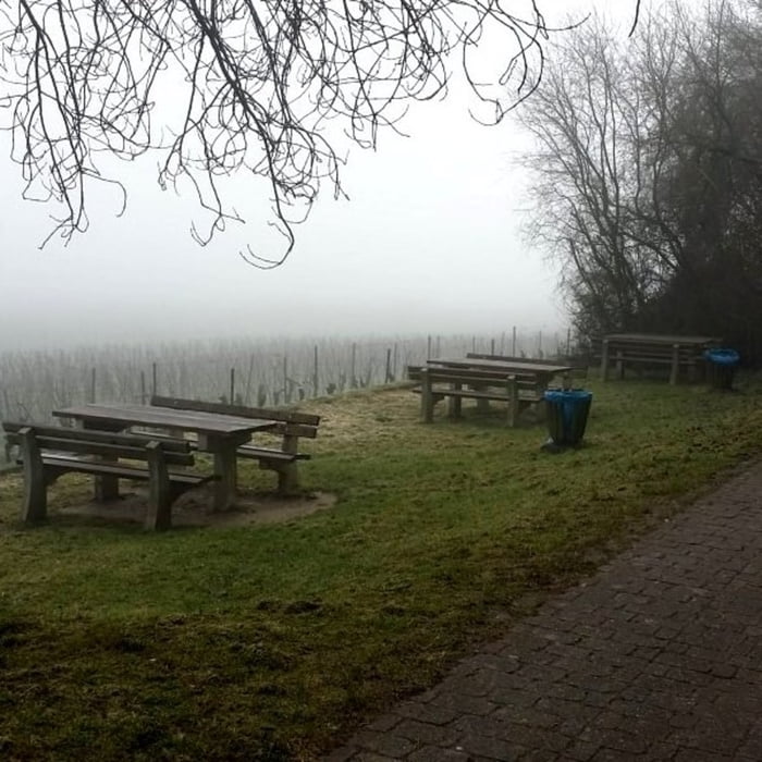
Startpunkt der Tour ist ein öffentlicher Parkplatz vor dem Ortseingang von Stankt Martin. Auf gut befestigten, ebenen Wegen führt die Strecke zunächst hoch zur Kropsburg – einziger nennenswerter Anstieg – und anschließend durch die Weinberge rund um Sankt Martin. Entlang der Tour befinden sich zahlreiche Picknickplätze mit zum Teil sehr schönen Ausblicken in die Rheinebene.

Galerija izletov

Zemljevid in višinski profil izleta

  • Open Street Map
  • Google
Minimum height 171 m Maximum height 346 m Prikaz podrobnosti

More about the tour author

isg13
Member since 2010

Send private message

Komentarji

Poti GPS

Trackpoints
  • GPX / Garmin Map Source (gpx) download
  • TCX / Garmin Training Center® (tcx) download
  • CRS / Garmin Training Center® (crs) download
  • Google Earth (kml) download
  • G7ToWin (g7t) download
  • TTQV (trk) download
  • Overlay (ovl) download
  • Fugawi (txt) download
  • Kompass (DAV) Track (tk) download
  • List z izleti (pdf) download
  • Original file of the author (gpx) download

More about the tour author

isg13
Member since 2010

Send private message
Share track
Add to my favorites
Remove from my favorites
Edit tags
My score
Rate
Izlet: Pfälzer Rundwanderung mit Einkehr - St Martin - Grafenstuben
Vrsta: Pešačenje
Dolžina: 11,0 km
Evaluated on:
Trajanje:
Day(s)
Hour(s)
Minute(s)
Ocena: Pokrajina Dejavnik zabave Kondicija Tehnika