Login

Si pozabil/a podatke za prijavo?

Cookies have to be accepted!
Your browser's cookie functionality is disabled. Please enable this functionality.

Not a member yet?

Register now
Login

Available for registred users only

Log in to use this feature.

Si pozabil/a podatke za prijavo?

Cookies have to be accepted!
Your browser's cookie functionality is disabled. Please enable this functionality.

Not a member yet?

Register now
Filter
Kategorije
Advanced filters
  • Dolžina (km)
  • Metri nadmorske višine
Shrani filter Reset filter

TrackRank

QRCode

Technical data

Dolžina10,6 km Metri nadmorske višine107 m Way down119 m Trajanje02:30 h:m Datum11.03.2018
Ocene Author Pokrajina Dejavnik zabave Kondicija Tehnika

Statistika

228 Pogledi Ocene 15 Prenosi Povprečje
Rate
  • List z izleti
  • Prihod
  • Prenosi
Onderweg zijn er geen drankmogelijkheden.

Galerija izletov

Zemljevid in višinski profil izleta

  • Open Street Map
  • Google
Minimum height 57 m Maximum height 93 m Prikaz podrobnosti

More about the tour author

ikkel
Member since 2009

Send private message

Komentarji

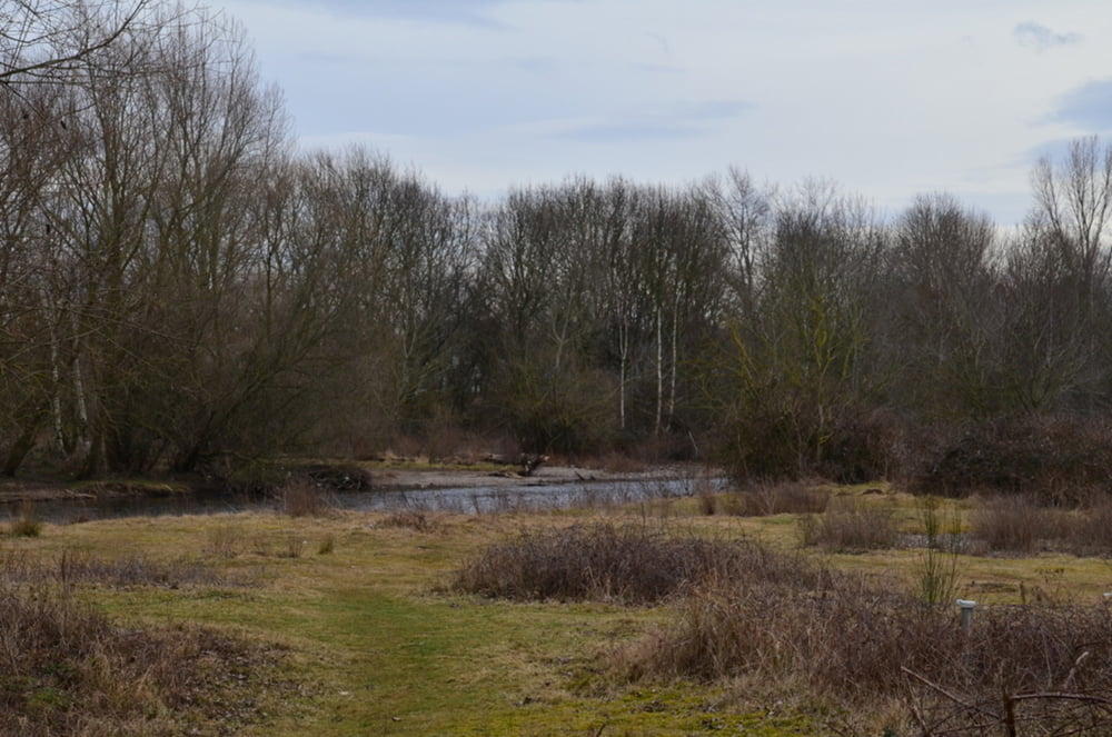
Altijd eerst goed checken of er geen hoogwater is, want delen van het wandelgebied zijn zeer gevoelig aan overstroming.

Poti GPS

Trackpoints
  • GPX / Garmin Map Source (gpx) download
  • TCX / Garmin Training Center® (tcx) download
  • CRS / Garmin Training Center® (crs) download
  • Google Earth (kml) download
  • G7ToWin (g7t) download
  • TTQV (trk) download
  • Overlay (ovl) download
  • Fugawi (txt) download
  • Kompass (DAV) Track (tk) download
  • List z izleti (pdf) download
  • Original file of the author (gpx) download

More about the tour author

ikkel
Member since 2009

Send private message
Share track
Add to my favorites
Remove from my favorites
Edit tags
My score
Rate
Izlet: Julich
Vrsta: Pešačenje
Dolžina: 10,6 km
Evaluated on:
Trajanje:
Day(s)
Hour(s)
Minute(s)
Ocena: Pokrajina Dejavnik zabave Kondicija Tehnika