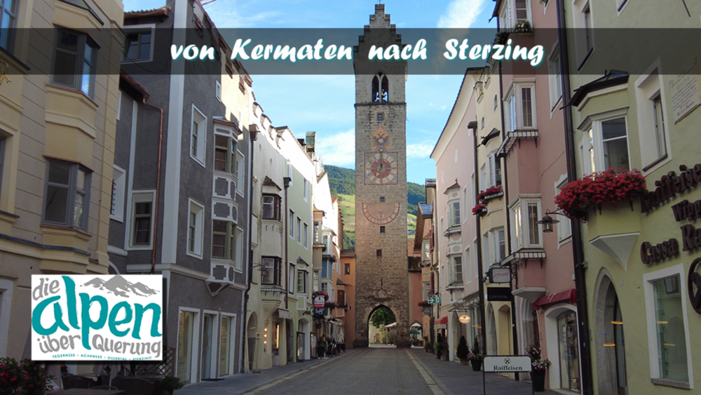
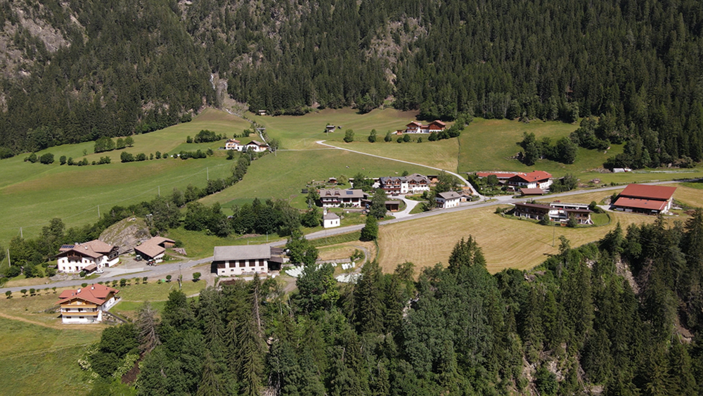
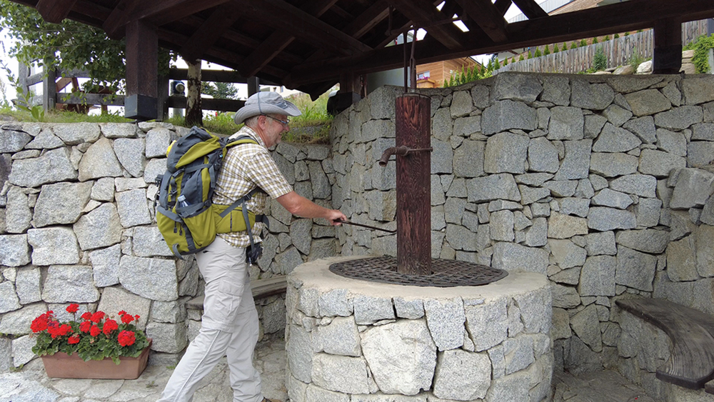
Auf der letzten Etappe wird man Streckenmäßig nocheinmal gefordert. Hatte man seine Übernachtung in San Giacomo, stehen heute 20 km bis nach Sterzing an. Für uns sind es, bedingt durch den gestrigen Zuweg zum Hotel noch 16 km. Wir laufen also das Pfitschertal aus bis nach Wiesen. Hier öffnet sich das Tal und wir blicken leicht erhöht auf unser Endziel Sterzing.
Galerija izletov
Zemljevid in višinski profil izleta
Minimum height 941 m
Maximum height 1476 m
Komentarji

Poti GPS
Trackpoints-
GPX / Garmin Map Source (gpx) download
-
TCX / Garmin Training Center® (tcx) download
-
CRS / Garmin Training Center® (crs) download
-
Google Earth (kml) download
-
G7ToWin (g7t) download
-
TTQV (trk) download
-
Overlay (ovl) download
-
Fugawi (txt) download
-
Kompass (DAV) Track (tk) download
-
List z izleti (pdf) download
-
Original file of the author (gpx) download
Add to my favorites
Remove from my favorites
Edit tags
Open track
My score
Rate


