


Der Weg zur St. Jakob führt schnell weg von der stark befahrenen Talstrasse in den Wald und wird dort auch z.T. ziemlich steil. Die Kirche ist einen Besuch wert. Sie wurde kürzlich komplett innen saniert.
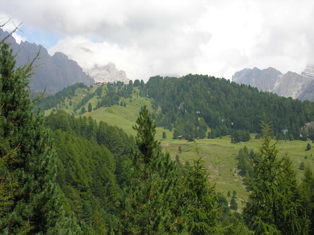
Von dort kann man den Dolomiten Höhenweg bis hoch zum Col Raiser gehen. Bis auf wenige Ausnahmen hat dieser Weg eine gleichmäßige und nicht zu starke Steigung. Man hat dort einen guten Blick auf die Col Raiser Bahn, die Pseudowanderer gerne nutzen um sich auf über 2100 m zu bringen.
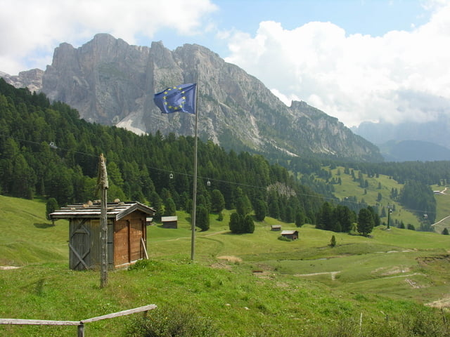
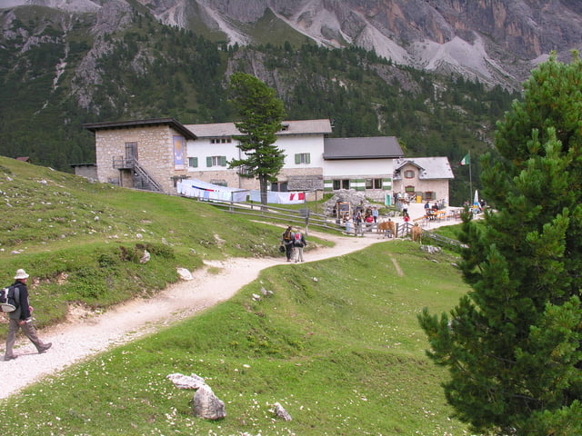
Der Col Raiser war der höchste Punkt der Tour, von dort kann man über die Regensburger Hütte ins Tal nach St. Christina absteigen.
Galerija izletov
Zemljevid in višinski profil izleta
Minimum height 1343 m
Maximum height 2108 m
More about the tour author

|
fuchst1701 |
Komentarji

Poti GPS
Trackpoints-
GPX / Garmin Map Source (gpx) download
-
TCX / Garmin Training Center® (tcx) download
-
CRS / Garmin Training Center® (crs) download
-
Google Earth (kml) download
-
G7ToWin (g7t) download
-
TTQV (trk) download
-
Overlay (ovl) download
-
Fugawi (txt) download
-
Kompass (DAV) Track (tk) download
-
List z izleti (pdf) download
-
Original file of the author (gpx) download
More about the tour author
|
|
fuchst1701 |
Add to my favorites
Remove from my favorites
Edit tags
Open track
My score
Rate