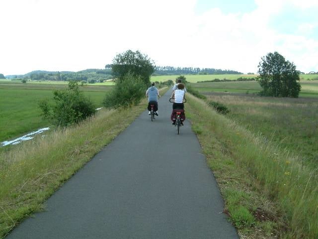
Die Fahhradtour führt über eine umgebaute Bahngleisstrecke von Daun nach Bernkastel Kues. Die Strecke ist angenehm zu fahren und auch für ungeübte Fahrradfahrer gut zu meistern. Wenn man von Daun aus startet geht sie fast nur bergab.
Further information at
http://www.tourendeddy.comZemljevid in višinski profil izleta
Minimum height
Maximum height 485 m
Komentarji

Start Daun
Ende Bernkastel-kues
Ende Bernkastel-kues
Poti GPS
Trackpoints-
GPX / Garmin Map Source (gpx) download
-
TCX / Garmin Training Center® (tcx) download
-
CRS / Garmin Training Center® (crs) download
-
Google Earth (kml) download
-
G7ToWin (g7t) download
-
TTQV (trk) download
-
Overlay (ovl) download
-
Fugawi (txt) download
-
Kompass (DAV) Track (tk) download
-
List z izleti (pdf) download
-
Original file of the author (gpx) download
Add to my favorites
Remove from my favorites
Edit tags
Open track
My score
Rate

