Login

Si pozabil/a podatke za prijavo?

Cookies have to be accepted!
Your browser's cookie functionality is disabled. Please enable this functionality.

Not a member yet?

Register now
Login

Available for registred users only

Log in to use this feature.

Si pozabil/a podatke za prijavo?

Cookies have to be accepted!
Your browser's cookie functionality is disabled. Please enable this functionality.

Not a member yet?

Register now
Filter
Kategorije
Advanced filters
  • Dolžina (km)
  • Metri nadmorske višine
Shrani filter Reset filter

TrackRank

QRCode

Technical data

Dolžina111,3 km Metri nadmorske višine3794 m Way down3691 m Trajanje00:00 h:m Datum22.08.2009
Ocene Author Pokrajina Dejavnik zabave Kondicija Tehnika

Statistika

1026 Pogledi Ocene 81 Prenosi Povprečje
Rate
  • List z izleti
  • Prihod
  • Prenosi

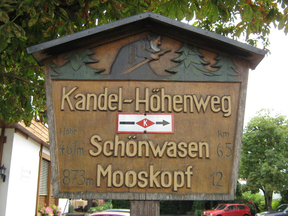
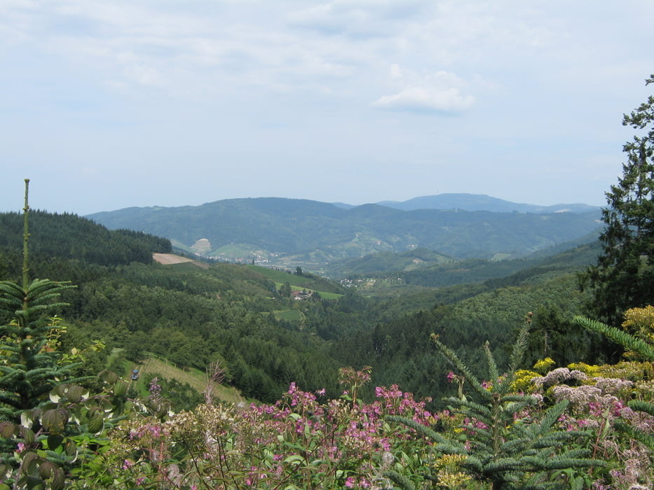
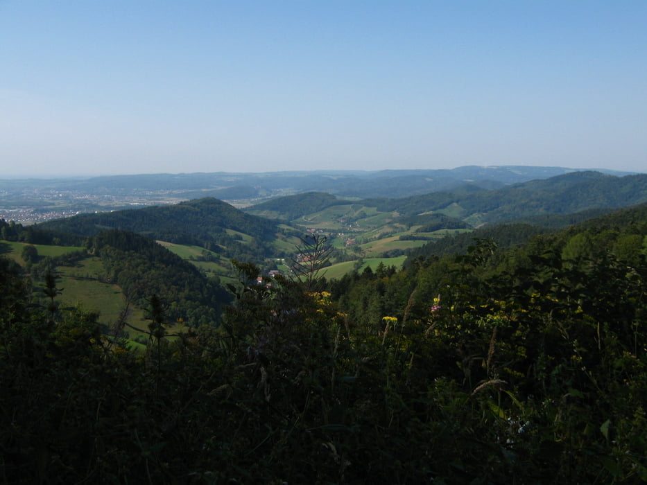
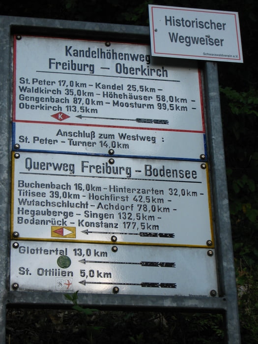
Schöne Tour  von Oberkirch nach Freiburg.

Teils steile Anstiege

2. und 4. Tag lange Strecken, die aufgeteilt werden können


Galerija izletov

Zemljevid in višinski profil izleta

  • Open Street Map
  • Google
Minimum height 177 m Maximum height 1248 m Prikaz podrobnosti

More about the tour author

olker65
Member since 2009

Send private message

Komentarji

Anreise mit der Bahn nach Oberkirch/Schwarzwald,

Heimreise mit Bahn von Freiburg/Breisgau.

Poti GPS

Trackpoints
  • GPX / Garmin Map Source (gpx) download
  • TCX / Garmin Training Center® (tcx) download
  • CRS / Garmin Training Center® (crs) download
  • Google Earth (kml) download
  • G7ToWin (g7t) download
  • TTQV (trk) download
  • Overlay (ovl) download
  • Fugawi (txt) download
  • Kompass (DAV) Track (tk) download
  • List z izleti (pdf) download
  • Original file of the author (gpx) download

More about the tour author

olker65
Member since 2009

Send private message
Share track
Add to my favorites
Remove from my favorites
Edit tags
My score
Rate
Izlet: Kandel Höhenweg
Vrsta: Pešačenje
Dolžina: 111,3 km
Evaluated on:
Trajanje:
Day(s)
Hour(s)
Minute(s)
Ocena: Pokrajina Dejavnik zabave Kondicija Tehnika