Login

Si pozabil/a podatke za prijavo?

Cookies have to be accepted!
Your browser's cookie functionality is disabled. Please enable this functionality.

Not a member yet?

Register now
Login

Available for registred users only

Log in to use this feature.

Si pozabil/a podatke za prijavo?

Cookies have to be accepted!
Your browser's cookie functionality is disabled. Please enable this functionality.

Not a member yet?

Register now
Filter
Kategorije
Advanced filters
  • Dolžina (km)
  • Metri nadmorske višine
Shrani filter Reset filter

TrackRank

QRCode

Technical data

Dolžina22,3 km Metri nadmorske višine44 m Way down46 m Trajanje01:00 h:m Datum05.07.2010
Ocene Author Pokrajina Dejavnik zabave Kondicija Tehnika

Statistika

292 Pogledi Ocene 26 Prenosi Povprečje
Rate
  • List z izleti
  • Prihod
  • Prenosi

Schnelle Abendrunde im Berliner Südwesten.

Die Runde geht ganz einfach.

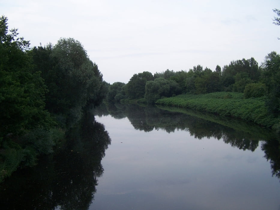
Hin zum Teltowkanal. An dem entlang bis Teltow. Bei den Zuckersandstrecken ist in der sommerlichen Trockenheit etwas Geschick hilfreich. Egal, es macht Spass auf den teils schmalen Wgen an den Brennnesseln vorbeizurauschen.

Die Wende bei Teltow und den Mauerweg zurück bis zur B101.

Ab nach Hause.

Schön war´s.

Further information at

http://de.wikipedia.org/wiki/Teltow

Galerija izletov

Zemljevid in višinski profil izleta

  • Open Street Map
  • Google
Minimum height 31 m Maximum height 54 m Prikaz podrobnosti

More about the tour author

Pheinz
Member since 2009

Send private message

Komentarji

Eistieg überall.

Poti GPS

Trackpoints
  • GPX / Garmin Map Source (gpx) download
  • TCX / Garmin Training Center® (tcx) download
  • CRS / Garmin Training Center® (crs) download
  • Google Earth (kml) download
  • G7ToWin (g7t) download
  • TTQV (trk) download
  • Overlay (ovl) download
  • Fugawi (txt) download
  • Kompass (DAV) Track (tk) download
  • List z izleti (pdf) download
  • Original file of the author (gpx) download

More about the tour author

Pheinz
Member since 2009

Send private message
Share track
Add to my favorites
Remove from my favorites
Edit tags
My score
Rate
Izlet: 60min Teltowkanal - Mauerweg
Vrsta: Treking kolo
Dolžina: 22,3 km
Evaluated on:
Trajanje:
Day(s)
Hour(s)
Minute(s)
Ocena: Pokrajina Dejavnik zabave Kondicija Tehnika