


Jetzt im Herbst bin ich auf der Suche nach einer Runde die ich bei knapper Zeit (es wird bald dunkel) mal schnell einschieben kann.
An der südlichen Stadtkante gibt es einige Wege die hoffentlich auch im Winter einigermaßen fahrbar bleiben.
Die östliche Schleife bietet in Birkholz als Pausenmöglichkeit ne kleine Kneipe. Bewerten kann ich sie nicht. Ich war noch nicht drin.
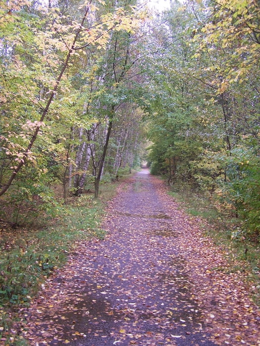
Den westlichen Teil über den Mauerweg und den Teltowkanal kenne ich gut, wobei Teile des Nordufers nicht befestigt sind. Gerade diesen Teil mag ich aber besonders.
Kann sein dass dies meine Standardrunde im Winter wird.
Further information at
http://de.wikipedia.org/wiki/Teltow-WerftGalerija izletov

Zemljevid in višinski profil izleta
Minimum height 28 m
Maximum height 50 m
More about the tour author
|
|
Pheinz |
Komentarji

Einstieg an jeder Stelle.
Poti GPS
Trackpoints-
GPX / Garmin Map Source (gpx) download
-
TCX / Garmin Training Center® (tcx) download
-
CRS / Garmin Training Center® (crs) download
-
Google Earth (kml) download
-
G7ToWin (g7t) download
-
TTQV (trk) download
-
Overlay (ovl) download
-
Fugawi (txt) download
-
Kompass (DAV) Track (tk) download
-
List z izleti (pdf) download
-
Original file of the author (gpx) download
More about the tour author
|
|
Pheinz |
Add to my favorites
Remove from my favorites
Edit tags
Open track
My score
Rate