Login

Si pozabil/a podatke za prijavo?

Cookies have to be accepted!
Your browser's cookie functionality is disabled. Please enable this functionality.

Not a member yet?

Register now
Login

Available for registred users only

Log in to use this feature.

Si pozabil/a podatke za prijavo?

Cookies have to be accepted!
Your browser's cookie functionality is disabled. Please enable this functionality.

Not a member yet?

Register now
Filter
Kategorije
Advanced filters
  • Dolžina (km)
  • Metri nadmorske višine
Shrani filter Reset filter

TrackRank

QRCode

Technical data

Dolžina10,8 km Metri nadmorske višine1245 m Way down1214 m Trajanje05:00 h:m Datum03.02.2011
Ocene Author Pokrajina Dejavnik zabave Kondicija Tehnika

Statistika

905 Pogledi Ocene 77 Prenosi Povprečje
Rate
  • List z izleti
  • Prihod
  • Prenosi

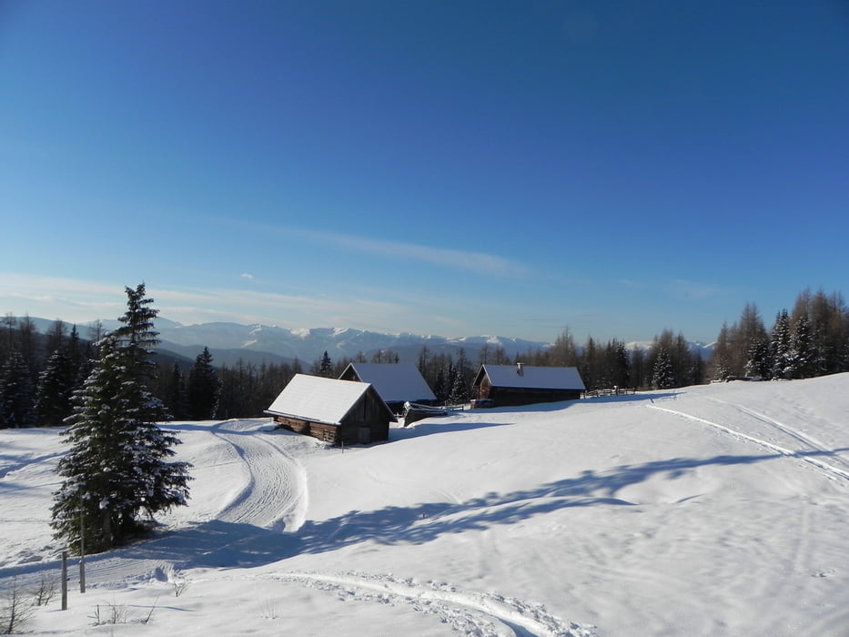
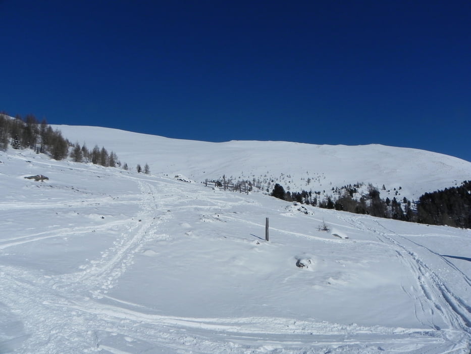
Aufstieg vom Prebersee anfangs auf Forstweg (Rodelbahn) später durch Lärchenwald und über Almen zur Preberhalterhütte. Nun über die Preberalm zum Rossboden und von hier die  aufsteilende Pyramide ca. 600 Hm hoch zum Gipfel.

Galerija izletov

Zemljevid in višinski profil izleta

  • Open Street Map
  • Google
Minimum height 1480 m Maximum height 2750 m Prikaz podrobnosti

More about the tour author

Zoechi
Member since 2008

Send private message

Komentarji

Poti GPS

Trackpoints
  • GPX / Garmin Map Source (gpx) download
  • TCX / Garmin Training Center® (tcx) download
  • CRS / Garmin Training Center® (crs) download
  • Google Earth (kml) download
  • G7ToWin (g7t) download
  • TTQV (trk) download
  • Overlay (ovl) download
  • Fugawi (txt) download
  • Kompass (DAV) Track (tk) download
  • List z izleti (pdf) download
  • Original file of the author (gpx) download

More about the tour author

Zoechi
Member since 2008

Send private message
Share track
Add to my favorites
Remove from my favorites
Edit tags
My score
Rate
Izlet: Preber
Vrsta: Smuči
Dolžina: 10,8 km
Evaluated on:
Trajanje:
Day(s)
Hour(s)
Minute(s)
Ocena: Pokrajina Dejavnik zabave Kondicija Tehnika