


Eine bequeme Tour mit schönem Panorama
Anm.: Die Tour wird bei teilweiser Schneelage beschrieben.
Vom Hotel "Lindenhof" zur Straße. Darüber hinweg, nach rechts neben den Loipen, durch Unterführung zum "Rittis Beach" an der Talstation der Rittis Seilbahn, links um diese Anlage und neben der Loipe/n bis zum Beginn der schwarzen Loipe. Im Rechtsbogen zurück zu Straßenbrücke, nach links darüber hinweg und halblinks am Schild 720 zwischen Häusern zur Mautstelle nach rechts wendend. Von hier aus auf dem "Panoramaweg" zurück nach Ramsau- Ort.
Anm.: An der Zeiserhof geht der Weg gerdeaus weiter. Umweg zur Straße war nötig, um nicht die spiegelglatte Piste queren zu müssen.
Galerija izletov

Zemljevid in višinski profil izleta
Minimum height 1149 m
Maximum height 1209 m
More about the tour author
|
|
heinz-57 |
Komentarji

Google Earth: 47°25'40.53"N / 13°38'38.56"E
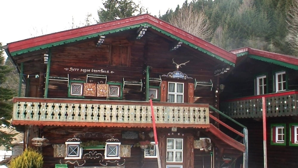
Von Ramsau- Ort Richtung Filzmoos; am Ortsende Hotel- Abzweigung "Lärchenhof", "Lindenhof" nach rechts bis zum "Lindenhof"; hier parken.
Poti GPS
Trackpoints-
GPX / Garmin Map Source (gpx) download
-
TCX / Garmin Training Center® (tcx) download
-
CRS / Garmin Training Center® (crs) download
-
Google Earth (kml) download
-
G7ToWin (g7t) download
-
TTQV (trk) download
-
Overlay (ovl) download
-
Fugawi (txt) download
-
Kompass (DAV) Track (tk) download
-
List z izleti (pdf) download
-
Original file of the author (gpx) download
More about the tour author
|
|
heinz-57 |
Add to my favorites
Remove from my favorites
Edit tags
Open track
My score
Rate