


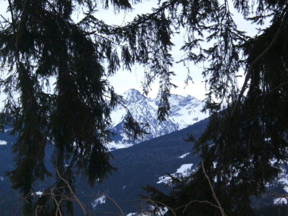
Die Wanderung wurde bei teilweiser Schneelage durchgeführt., gemütlich mit schönem Panorama.
Dem Wegweiser "Leitenrundweg 4" durchweg folgen. Über Wiesen, Wald am Hang entlang bis "Dalg". Rechts zum Sträßchen, links neben Straße weiter, Bei Rechtskurve abwärts zu den Häusern, nach Links-/ Rechtskurve hinter "Sonnenhügel" auf "Leitenloipe" nach links von Straße abbiegen.. Neben der Loipe bis zum "Petergstamm". Auf Fahrweg zur Straße, links hoch zur Hauptstraße, hinter "Ennstalerhof" auf Sträßchen weiter, nach links aufwärts zu Appartmenthäusern und hinter cliesen nach links zum Parkplatz.
Galerija izletov
Zemljevid in višinski profil izleta
Minimum height 958 m
Maximum height 1092 m
More about the tour author
|
|
heinz-57 |
Komentarji

Google Earth: 47°25'2.41"N / 13°40'38.90"E
Anfahrt: Ramsau-Ort zum OT Kulm, 200m vor Ennstaler Hof links ab Richtung Alpenhof. Kurz davor Parkmöglichkeit
Poti GPS
Trackpoints-
GPX / Garmin Map Source (gpx) download
-
TCX / Garmin Training Center® (tcx) download
-
CRS / Garmin Training Center® (crs) download
-
Google Earth (kml) download
-
G7ToWin (g7t) download
-
TTQV (trk) download
-
Overlay (ovl) download
-
Fugawi (txt) download
-
Kompass (DAV) Track (tk) download
-
List z izleti (pdf) download
-
Original file of the author (gpx) download
More about the tour author
|
|
heinz-57 |
Add to my favorites
Remove from my favorites
Edit tags
Open track
My score
Rate