Login

Si pozabil/a podatke za prijavo?

Cookies have to be accepted!
Your browser's cookie functionality is disabled. Please enable this functionality.

Not a member yet?

Register now
Login

Available for registred users only

Log in to use this feature.

Si pozabil/a podatke za prijavo?

Cookies have to be accepted!
Your browser's cookie functionality is disabled. Please enable this functionality.

Not a member yet?

Register now
Filter
Kategorije
Advanced filters
  • Dolžina (km)
  • Metri nadmorske višine
Shrani filter Reset filter

TrackRank

QRCode

Technical data

Dolžina58,5 km Metri nadmorske višine421 m Way down427 m Trajanje02:32 h:m Datum11.11.2011
Ocene Author Pokrajina Dejavnik zabave Kondicija Tehnika

Statistika

292 Pogledi Ocene 22 Prenosi Povprečje
Rate
  • List z izleti
  • Prihod
  • Prenosi
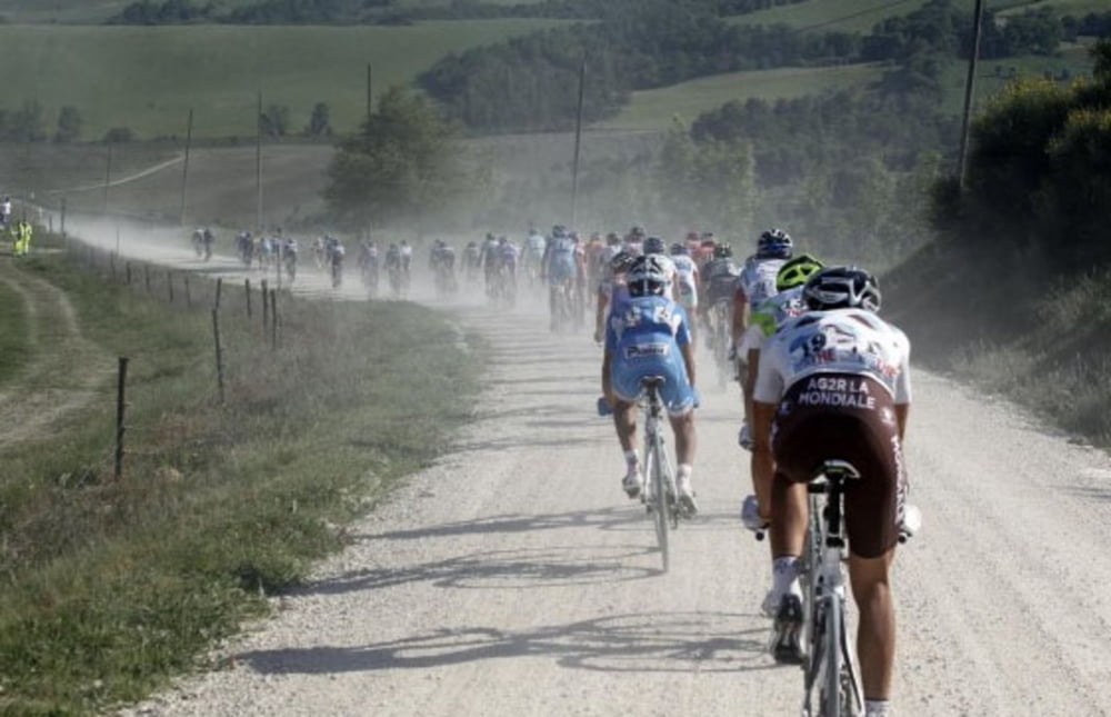
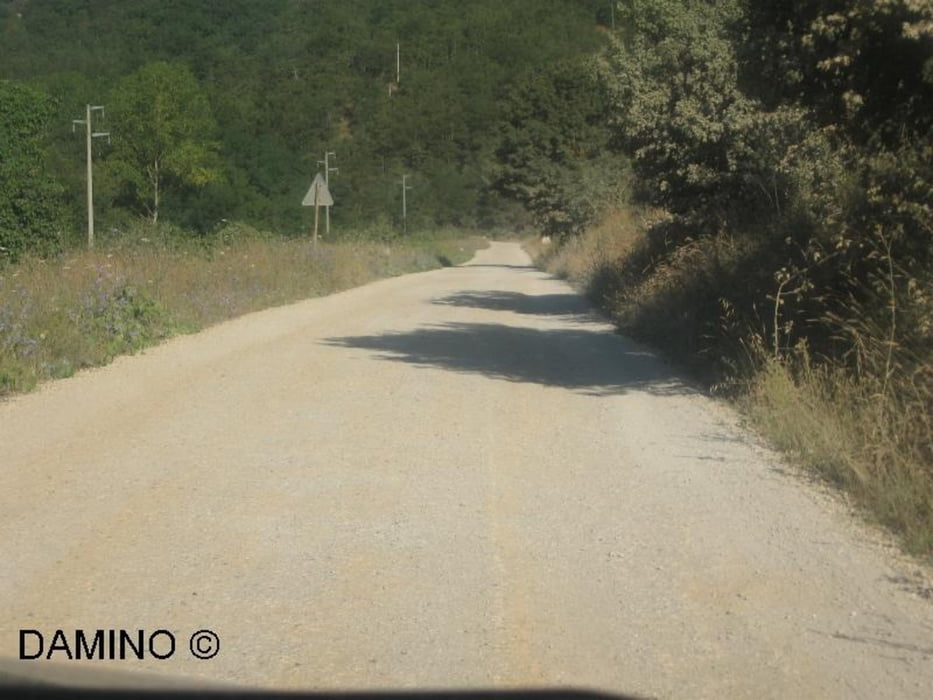
"Strada Bianche" Tour. Sehr gut geeignet für Cross- und Trekkingräder. Die Runde verläuft zu 80% auf geschotterten Wegen. Start und Ziel in Oberfürberg am Hotel Forsthaus. Ich empfehle entgegen dem Uhrzeigersinn zu fahren. Für diese Ausfahrt ist kein gefedertes Rad nötig. Bis auf eine steile Rampe kurz nach Dietenhofen auch keine nennenswerten Anstiege.

Galerija izletov

Zemljevid in višinski profil izleta

  • Open Street Map
  • Google
Minimum height 274 m Maximum height 417 m Prikaz podrobnosti

More about the tour author

wolfgangroeck
Member since 2009

Send private message

Komentarji

Start und Ziel: Das NH-Hotel Forsthaus in Fürth-Oberfürberg, direkt am Stadtwald gelegen.

Poti GPS

Trackpoints
  • GPX / Garmin Map Source (gpx) download
  • TCX / Garmin Training Center® (tcx) download
  • CRS / Garmin Training Center® (crs) download
  • Google Earth (kml) download
  • G7ToWin (g7t) download
  • TTQV (trk) download
  • Overlay (ovl) download
  • Fugawi (txt) download
  • Kompass (DAV) Track (tk) download
  • List z izleti (pdf) download
  • Original file of the author (gpx) download

More about the tour author

wolfgangroeck
Member since 2009

Send private message
Share track
Add to my favorites
Remove from my favorites
Edit tags
My score
Rate
Izlet: Oberfürberg-Dietenhofen-Oberfürberg
Vrsta: Treking kolo
Dolžina: 58,5 km
Evaluated on:
Trajanje:
Day(s)
Hour(s)
Minute(s)
Ocena: Pokrajina Dejavnik zabave Kondicija Tehnika