


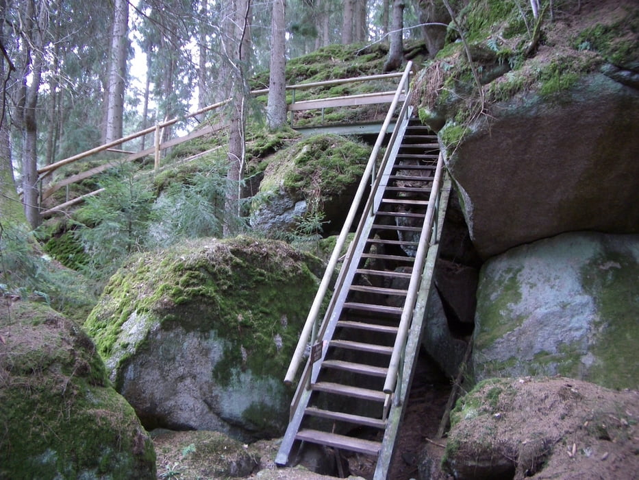
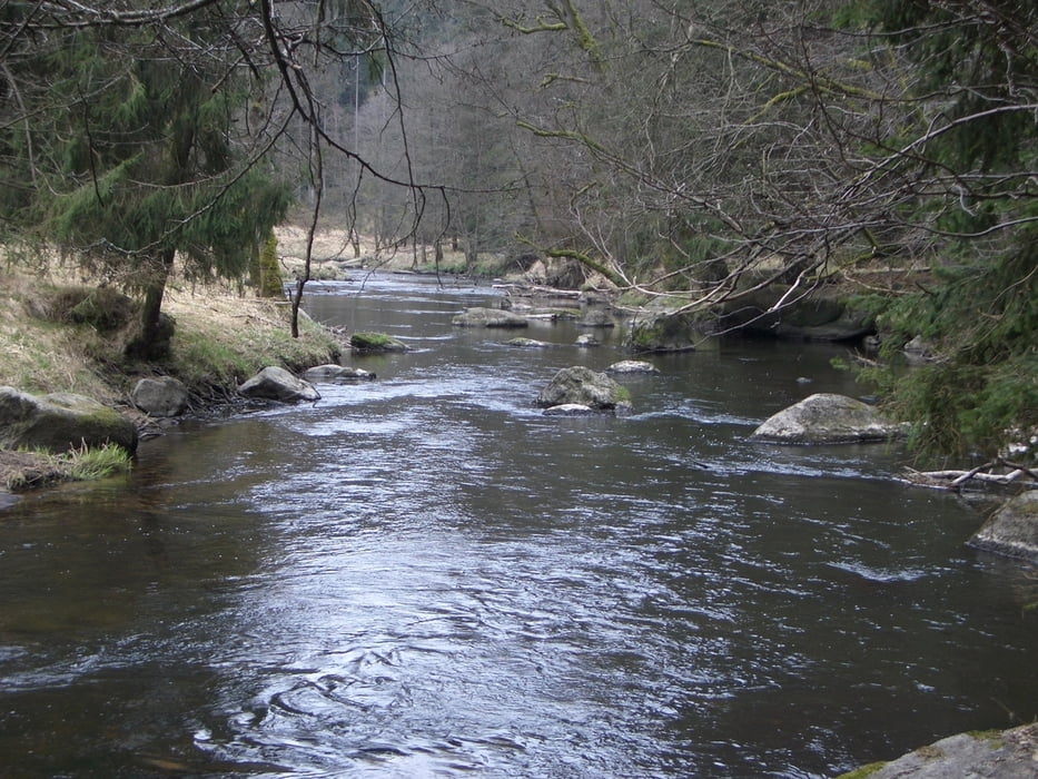
Vom Ausgangspunkt geht es über Forstwege an die Waldnaab, dort dann flussaufwärts auf einem schmalen Pfad richtung Blockhütte. Trittsicherheit wird hier empfohlen. Der Pfad führt an vielen herrlichen Steinformationen wie Gletschermühle, Tischstein und Altneuhaus vorbei. Ab der Blockhütte geht es wieder auf Forstwegen zurück zum Ausgangspunkt.
Galerija izletov
Zemljevid in višinski profil izleta
Minimum height 421 m
Maximum height 502 m
More about the tour author

|
vollgashias |
Komentarji

Ortsverbindungsstaße Windischeschenbach - Bernstein im Wald rechts weg (Ausschilderung OWV Uferpfadparkplatz). Am Ende der Steigung nach der Autobahnbrücke bei der Weggabelung das Auto abstellen.
Poti GPS
Trackpoints-
GPX / Garmin Map Source (gpx) download
-
TCX / Garmin Training Center® (tcx) download
-
CRS / Garmin Training Center® (crs) download
-
Google Earth (kml) download
-
G7ToWin (g7t) download
-
TTQV (trk) download
-
Overlay (ovl) download
-
Fugawi (txt) download
-
Kompass (DAV) Track (tk) download
-
List z izleti (pdf) download
-
Original file of the author (gpx) download
More about the tour author
|
|
vollgashias |
Add to my favorites
Remove from my favorites
Edit tags
Open track
My score
Rate