Login

Zapomniałeś swój login?

Cookies have to be accepted!
Your browser's cookie functionality is disabled. Please enable this functionality.

Not a member yet?

Register now
Login

Available for registred users only

Log in to use this feature.

Zapomniałeś swój login?

Cookies have to be accepted!
Your browser's cookie functionality is disabled. Please enable this functionality.

Not a member yet?

Register now
Filter
Kategorie
Advanced filters
  • Długość (km)
  • Wysokość
Zapisz filtr Reset filter

TrackRank

QRCode

Technical data

Długość24,8 km Wysokość700 m Way down746 m Czas trwania01:51 h:m Data26.06.2011
Oceny Author Krajobraz Czynnik zadowolenia Kondycja Technika

Statystyka

1142 Widoki Oceny 172 Downloads / Pliki do pobrania Przeciętnie
Rate
  • Karta trasy
  • Dojazd
  • Downloads / Pliki do pobrania
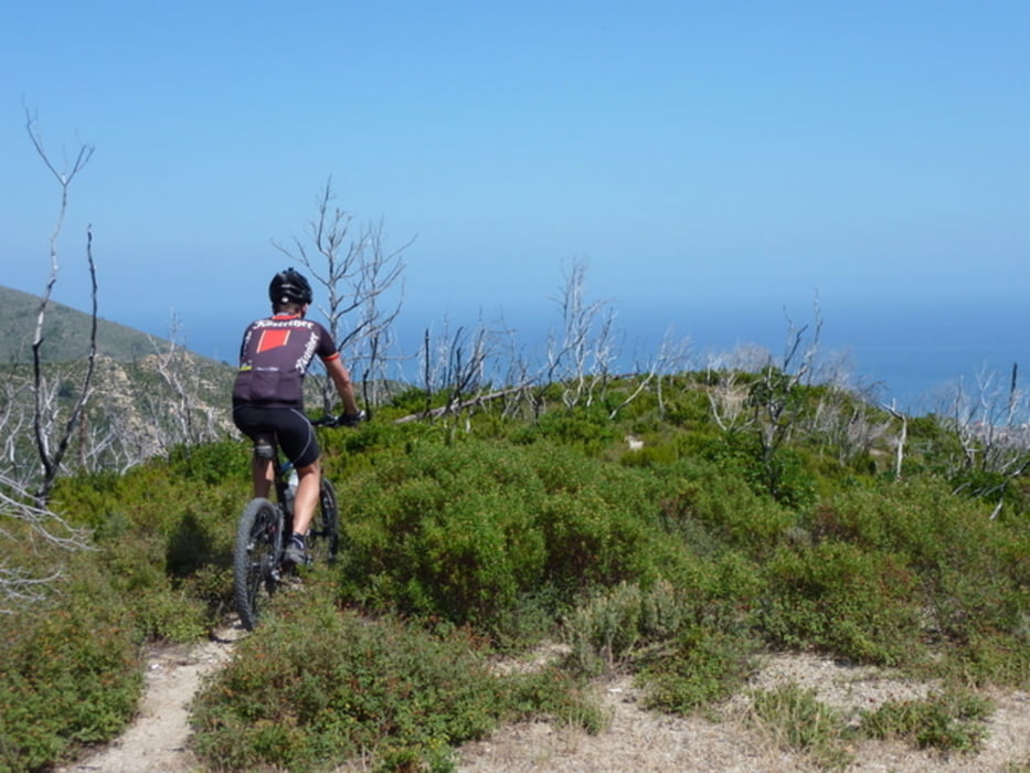
Ganz nett zum einrollen. Die Rückfahrt über die Küstenstrasse habe ich nicht aufgezeichnet. Diese ist leider strark befahren und lohnt nicht. Nach dieser Tour habe ich mir eine Topokarte: ALP Finalese 1:25.000 (Vivalda Editori - Ingenia) im Buchladen an der Kirche von Spotorno gekauft - von da an wurde alles besser, die Orientierung jedoch nicht einfach! 

Galeria trasy

Mapa trasy i profil wysokości

  • Open Street Map
  • Google
Minimum height 3 m Maximum height 520 m Widok szczegółowy

More about the tour author

CF2008
Member since 2011

Send private message

Komentarze

GPS tracks

Trackpoints
  • GPX / Garmin Map Source (gpx) download
  • TCX / Garmin Training Center® (tcx) download
  • CRS / Garmin Training Center® (crs) download
  • Google Earth (kml) download
  • G7ToWin (g7t) download
  • TTQV (trk) download
  • Overlay (ovl) download
  • Fugawi (txt) download
  • Kompass (DAV) Track (tk) download
  • Karta trasy (pdf) download
  • Original file of the author (gpx) download

More about the tour author

CF2008
Member since 2011

Send private message
Share track
Add to my favorites
Remove from my favorites
Edit tags
My score
Rate
Trasa: Camping Mulino - Spotorno
Rodzaj: Rower górski (MTB)
Długość: 24,8 km
Evaluated on:
Czas trwania:
Day(s)
Hour(s)
Minute(s)
Ocena: Krajobraz Czynnik zadowolenia Kondycja Technika