


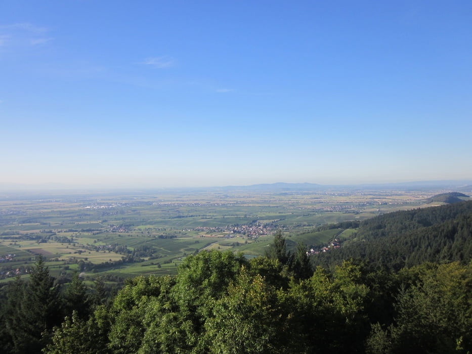
Von Tunsel (mit Parkmöglichkeit am Rathaus) auf asphaltierten Wirtschaftswegen über Schmidhofen, Gallenweiler bis Grunern Fohrenberg. Weiter über Forstwege und Trails über den Castellberg nach Sulzburg bis zur Ruine Neuenfels. Die Rückfahrt erfolgt über eine schöne Trailabfahrt zur Schwärze, Bettlerpfad und Wiwegle bis nach Sulzburg. Von dort über Heitersheim zurück nach Tunsel. Tour mit sehr schönen Ausblicken (Staufen mit Burg, Rheintal und Vogesen).
Tour gallery


Tour map and elevation profile
Minimum height 176 m
Maximum height 647 m
More about the tour author
|
|
cammeste |
Comments

Autobahnausfahrt A5 Bad Krozingen (ca. 20 km südlich von Freiburg) - Richtung Bad Krozingen nach ca. 4 km Ausfahrt rechts nach Schlatt weiter bis Tunsel 2 km - Parkmöglichkeit Tunsel Rathaus Ortsmitte.
GPS tracks
Trackpoints-
GPX / Garmin Map Source (gpx) download
-
TCX / Garmin Training Center® (tcx) download
-
CRS / Garmin Training Center® (crs) download
-
Google Earth (kml) download
-
G7ToWin (g7t) download
-
TTQV (trk) download
-
Overlay (ovl) download
-
Fugawi (txt) download
-
Kompass (DAV) Track (tk) download
-
Track data sheet (pdf) download
-
Original file of the author (gpx) download
More about the tour author
|
|
cammeste |
Add to my favorites
Remove from my favorites
Edit tags
Open track
My score
Rate