Přihlášení

Zapomenutý login?

Soubory cookie musí být akceptovány!
Funkce cookies ve vašem prohlížeči je deaktivována. Aktivujte prosím tuto funkci.

Ještě nejste členem?

Zaregistrujte se nyní
Přihlášení

Možné pouze pro přihlášené uživatele

Přihlaste se, abyste mohli tuto funkci používat.

Zapomenutý login?

Soubory cookie musí být akceptovány!
Funkce cookies ve vašem prohlížeči je deaktivována. Aktivujte prosím tuto funkci.

Ještě nejste členem?

Zaregistrujte se nyní
Filtr
Kategorie
Pokročilé filtry
  • Délka (km)
  • Výškoměr
Uložit filtr Obnovit filtr

TrackRank

QRCode

Technické údaje

Délka16,2 km Výškoměr178 m Sestup168 m Doba04:00 h:m Datum04.05.2013
Hodnocení Autor Krajina Faktor zábavy Náročnost Technika

Statistika

3416 Přehledy 1 Hodnocení 178 Downloady 4.00 Průměr
Hodnotit
  • Formulář trasy
  • Příjezd
  • Downloady

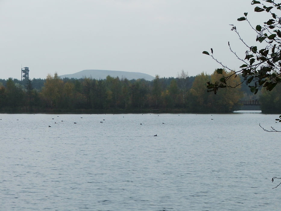
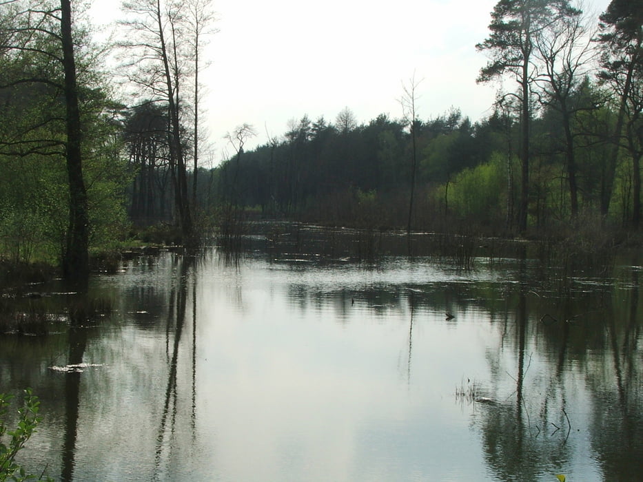
Rundwanderung durch die Kirchheller Heide (Teil des Naturparks Hohe Mark): Wald, windungsreiche Bäche und Seen.


Galerie tras

Trasa mapa a výškový profil

  • Open Street Map
  • Google
Minimální výška 40 m Maximální výška 81 m Detailní náhled

Více o autorovi turné

lothardomnik
Členem od 2009

Odeslat soukromou zprávu

Komentáře

Toak68 on 12.05.2015

Ruhrgebiet: Kirchheller Heide

Haben heute (12.05.2015) mit Hund die Runde gemacht. So positiv hat uns eine Strecken sehr selten. Sehr schöne Natur mit reichlich Wasserstellen. Am Wochenende soll in dem Gebiet wohl mächtig was los sein, wir hatten heute kaum Radfahrer, Reiter und Wanderer getroffen. Alles in allem super toller Weg.
Toak68 on 12.05.2015

Ruhrgebiet: Kirchheller Heide

Haben heute (12.05.2015) mit Hund die Runde gemacht. So positiv überrascht hat uns eine Strecken sehr selten. Sehr schöne Natur mit reichlich Wasserstellen. Am Wochenende soll in dem Gebiet wohl mächtig was los sein, wir hatten heute kaum Radfahrer, Reiter und Wanderer getroffen. Alles in allem super toller Weg.
Start- und Endpunkt: Parkplatz Rotbachtal bei Grafenmühle an der L621 (Alter Postweg) nördlich von Oberhausen-Königshardt

Trasy GPS

Trackpoints
  • GPX / Garmin Map Source (gpx) download
  • TCX / Garmin Training Center® (tcx) download
  • CRS / Garmin Training Center® (crs) download
  • Google Earth (kml) download
  • G7ToWin (g7t) download
  • TTQV (trk) download
  • Overlay (ovl) download
  • Fugawi (txt) download
  • Kompass (DAV) Track (tk) download
  • Formulář trasy (pdf) download
  • Původní soubor autora (gpx) download

Více o autorovi turné

lothardomnik
Členem od 2009

Odeslat soukromou zprávu
Share track
Přidat do oblíbených
Odebrat z oblíbených položek
Upravit značky
Moje hodnocení
Hodnotit
Trasa: Ruhrgebiet: Kirchheller Heide
Druh: Turistika 
Délka: 16,2 km
Hodnoceno na:
Doba:
Den(y)
Hodina(y)
Minuta(y)
Hodnocení: Krajina Faktor zábavy Náročnost Technika