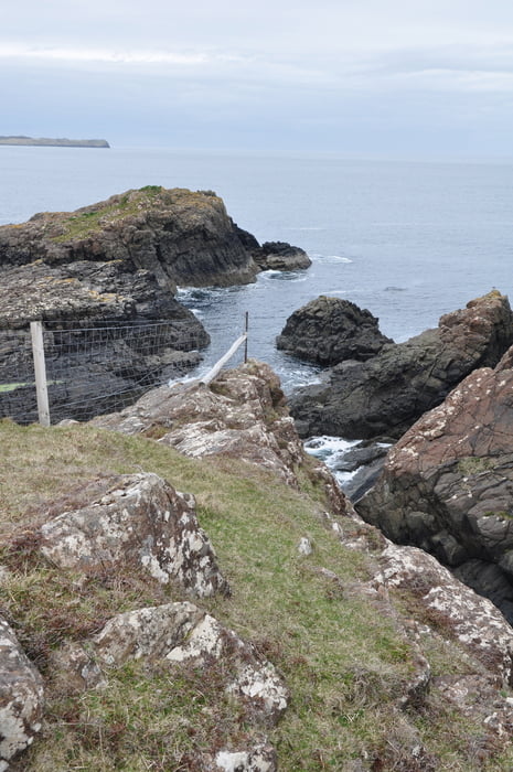
Die erste Etappe vom Skytrail
http://www.walkhighlands.co.uk/skye/skye-trail.shtml
Achtung Warnung
Eine Stelle ist mit Absturzgefahr, hier läßt sich der Schafs-Zaun nur über eine ausgesetzte Klippe umgehen.
GPS-Gerät und Karte mit Kompass erforderlich. Wobei die Karte bei Sturm und Nebel nur bedingt einsatzfähig ist.
In den ersten vier Etappen gibt es so gut wie keinen Pfad oder Weg, man geht also die meiste Zeit Querfeldein.
Wasserdichte Kleidung (getestet) Sturmfestes Zelt, Warme unterkleidung, Handschuhe und Stöcke.
Trasa mapa a výškový profil
Komentáře

Trasy GPS
Trackpoints-
GPX / Garmin Map Source (gpx) download
-
TCX / Garmin Training Center® (tcx) download
-
CRS / Garmin Training Center® (crs) download
-
Google Earth (kml) download
-
G7ToWin (g7t) download
-
TTQV (trk) download
-
Overlay (ovl) download
-
Fugawi (txt) download
-
Kompass (DAV) Track (tk) download
-
Formulář trasy (pdf) download
-
Původní soubor autora (gpx) download

