


Rundtour: Freising - Ampertal - Lohof - Neufahrn - Freising
Von Freising aus fuhr ich ins Ampertal, dann Fluß aufwärts bis Haimhausen, weiter ostwärts nach Lohhof und an der Bahnline München-Freising entlang bis Neufahrn. Durch das Pullinger Moos gelangte ich wieder zurück nach Freising,
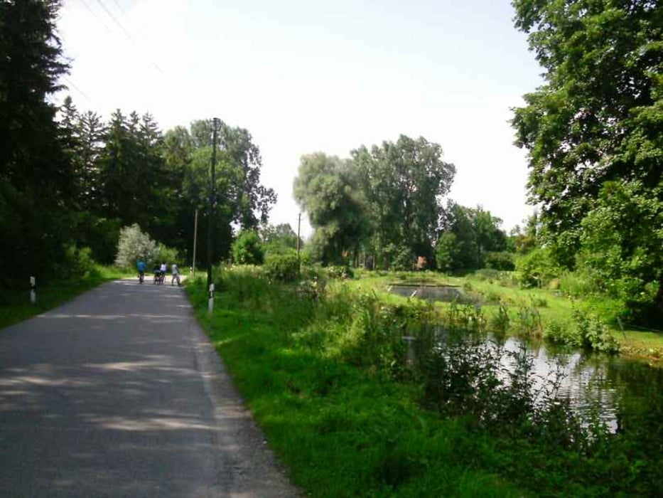
Größe Steigungen gibt es kaum auf der recht einfach zu fahrenden Strecke, nur in Freising bis zur Waldsiedlung und von Haimhausen nach Inhausen geht es bergauf. Die Wege sind bis Lohof gut ausgebaut, an der Bahnlinie bis Neufahrn sind sie etwas schottrig, ab Neufahrn radelt man auf Nebenstraßen. Es gibt nur wenig Schatten auf dieser Tour.
In Freising, Lohof, Eching und Neufahrn besteht S-Bahnanschluß (S1)
Sehenswert sind die Kirche in Allershausen und das Schloß von Haimhausen, das allerdings nur von Außen besichtigt werden kann. Einkehrmöglichkeiten gibt es in Allershausen und Haimhausen.
Další informace v části
http://www.muenchen.de/sehenswuerdigkeiten/orte/226833.htmlGalerie tras


Trasa mapa a výškový profil
Minimální výška 439 m
Maximální výška 510 m
Více o autorovi turné

|
freisnger |
Komentáře

Trasy GPS
Trackpoints-
GPX / Garmin Map Source (gpx) download
-
TCX / Garmin Training Center® (tcx) download
-
CRS / Garmin Training Center® (crs) download
-
Google Earth (kml) download
-
G7ToWin (g7t) download
-
TTQV (trk) download
-
Overlay (ovl) download
-
Fugawi (txt) download
-
Kompass (DAV) Track (tk) download
-
Formulář trasy (pdf) download
-
Původní soubor autora (gpx) download
Více o autorovi turné
|
|
freisnger |
Přidat do oblíbených
Odebrat z oblíbených položek
Upravit značky
Open track
Moje hodnocení
Hodnotit