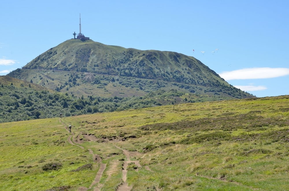
Diese Tour führt landschaftlich sehr reizvoll durch die Vulkanlandschaft des Massif Central. Viele einfache Trails (S0+), flowige Abfahrten und eine sehr abwechslungsreiche Landschaft (es geht über Wiesen und durch Wälder) machen den Reiz dieser Runde aus. Der Puy de Dome mit seinem markanten Sendemast wird dabei weitläufig umrundet. Ein Nachbarvulkan, der Puy Pariou, mit deutlich ausgeprägtem, mit Gras bewachsenen Kraterbecken kann von der Route aus in 10 Minuten zu Fuß bestiegen werde (Treppen). Nehmt also ein Radschloss mit. Die Abfahrten und Querungen führen oft auf schmalen Wegen, die von Deutschlands Regelungsbürokraten sicher gesperrt wären. Wie oft in Frankreich habe ich hier ein Leben und Leben lassen kennen gelernt. Seid also freundlich, lasst Wanderern den Vortritt und ein freundliches "Bonjour" hält uns diese Trails offen. Im Anschluss an die Tour lohnt ein Ausflug ins nahe gelegene Clermont-Ferrand.
Další informace v části
http://de.wikipedia.org/wiki/ZentralmassivGalerie tras
Trasa mapa a výškový profil
Minimální výška 910 m
Maximální výška 1191 m
Komentáře

Am Beginn des Trails ist einen gute, ausreichend große Parkmöglichkeit.
Trasy GPS
Trackpoints-
GPX / Garmin Map Source (gpx) download
-
TCX / Garmin Training Center® (tcx) download
-
CRS / Garmin Training Center® (crs) download
-
Google Earth (kml) download
-
G7ToWin (g7t) download
-
TTQV (trk) download
-
Overlay (ovl) download
-
Fugawi (txt) download
-
Kompass (DAV) Track (tk) download
-
Formulář trasy (pdf) download
-
Původní soubor autora (gpx) download
Přidat do oblíbených
Odebrat z oblíbených položek
Upravit značky
Open track
Moje hodnocení
Hodnotit


