


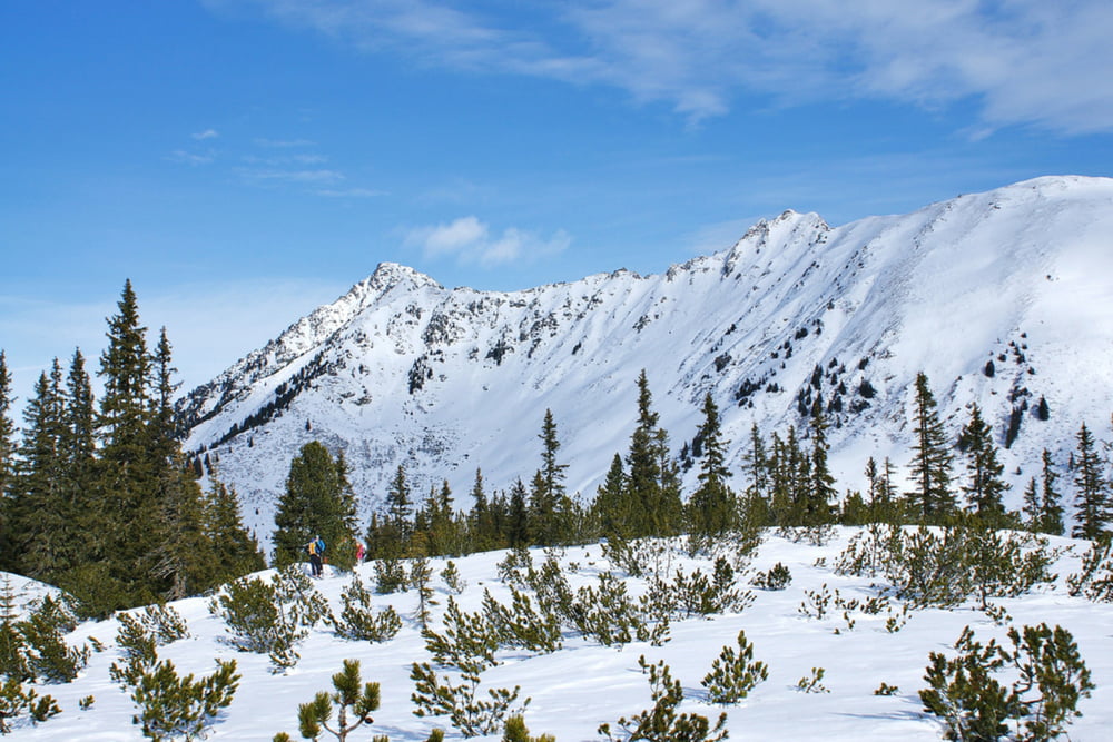
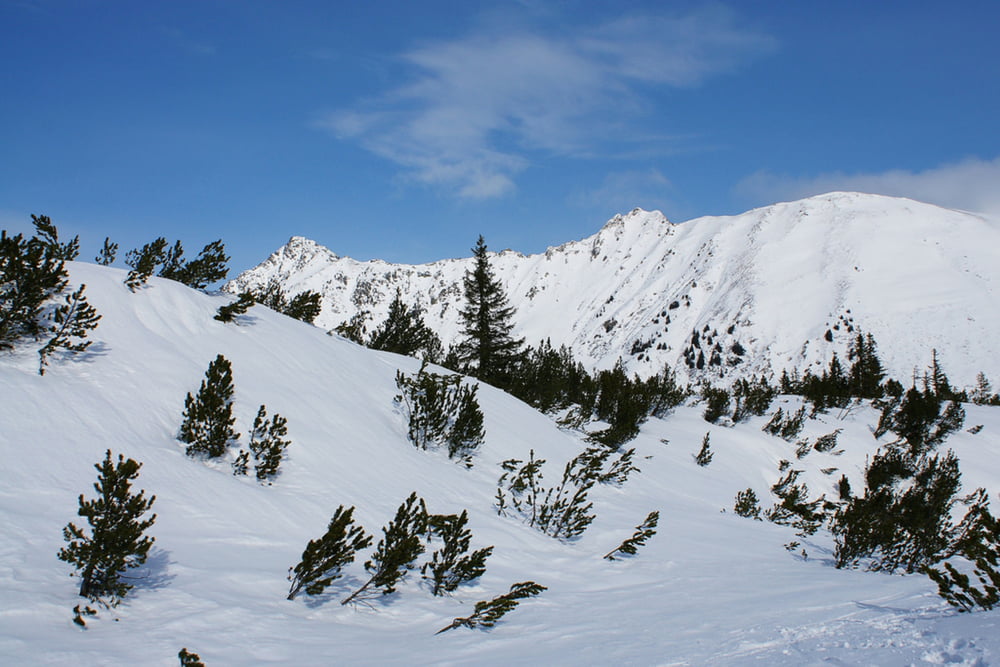
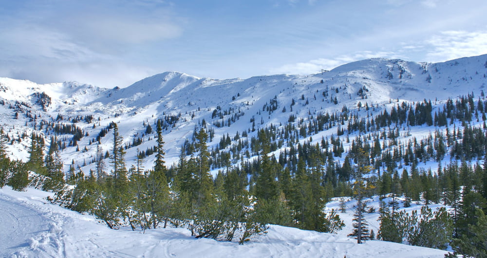
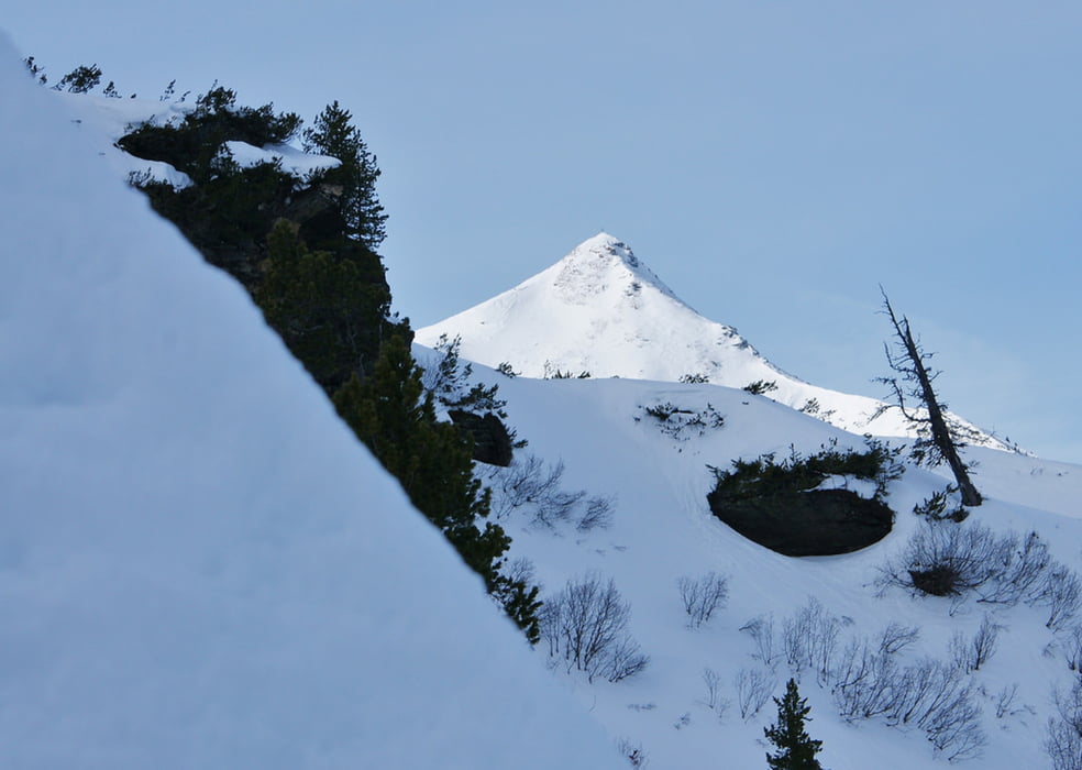
Diese sehr schöne Winterwanderung führt dich auf die verschneite Hochebene der Planneralm. Wegen dem geringen Höhenunterschied ist diese Tour auch für die ganze Familie geeignet. Schon die Anfahrt von Donnersbach auf der ca. 12 km langen, bestens ausgebauten Bergstraße hinauf zur Planneralm ist sehr sehenswert. Je länger man fährt, umso höher liegt der Schnee, umso verschneiter sind die Wälder und Almwiesen. Vom Kinderland gelangt man über den markierten Winterwanderweg in ca. 20-30 min. auf das Hochplateau. Am Weg zurück hat man eine wunderbare Aussicht auf den Plannerkessel mit seinen Naturschneepisten.
This very nice winter hiking tour takes you to the snowy plateau – Planneralm 1.600m. Because of the small difference in height, this tour is suitable for the whole family. Even the arrival of Donnersbach on the 12 km long, well-developed road up to the Planneralm is well worth seeing. The longer you go, the snow is higher, the forests and meadows are more and more covered with snow. From the children's area we access via the marked winter trail the higher plateau in about 20-30 minutes. On the way back you have a wonderful view of the Planneralm with its natural snow slopes.
Galerie tras
Trasa mapa a výškový profil
Minimální výška 1588 m
Maximální výška 1722 m
Více o autorovi turné
|
|
Trek1400d |
Komentáře

Auf der B320 im Ennstal bis Trautenfels und dann SO-wärts nach lrdning und anschließend nach Donnersbach. Von dort auf einer gut ausgebauten, mautfreien Bergstraße auf die Planneralm 1.600m
Trasy GPS
Trackpoints-
GPX / Garmin Map Source (gpx) download
-
TCX / Garmin Training Center® (tcx) download
-
CRS / Garmin Training Center® (crs) download
-
Google Earth (kml) download
-
G7ToWin (g7t) download
-
TTQV (trk) download
-
Overlay (ovl) download
-
Fugawi (txt) download
-
Kompass (DAV) Track (tk) download
-
Formulář trasy (pdf) download
-
Původní soubor autora (gpx) download
Více o autorovi turné
|
|
Trek1400d |
Přidat do oblíbených
Odebrat z oblíbených položek
Upravit značky
Open track
Moje hodnocení
Hodnotit