
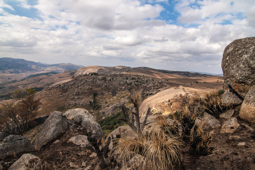

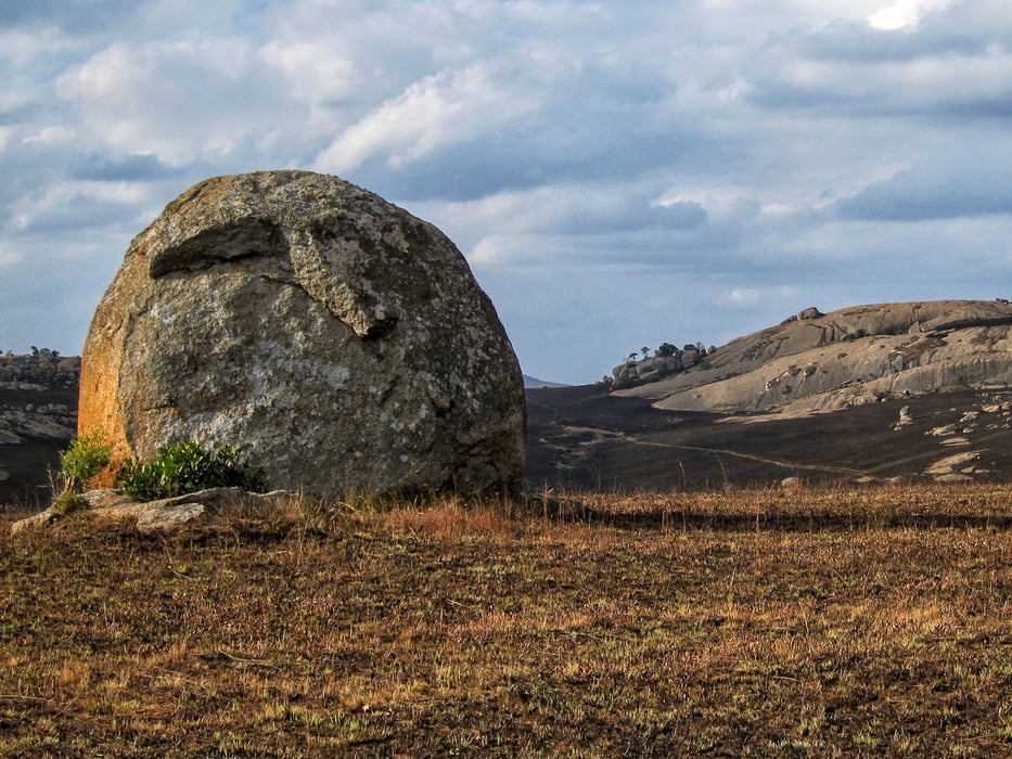
Located around 10km outside of Mbabane, Sibebe is the largest exposed granite pluton in the world. Although different in their geology, Sibebe is second only to Ayers Rock in Australia as the largest freestanding rock in the world.
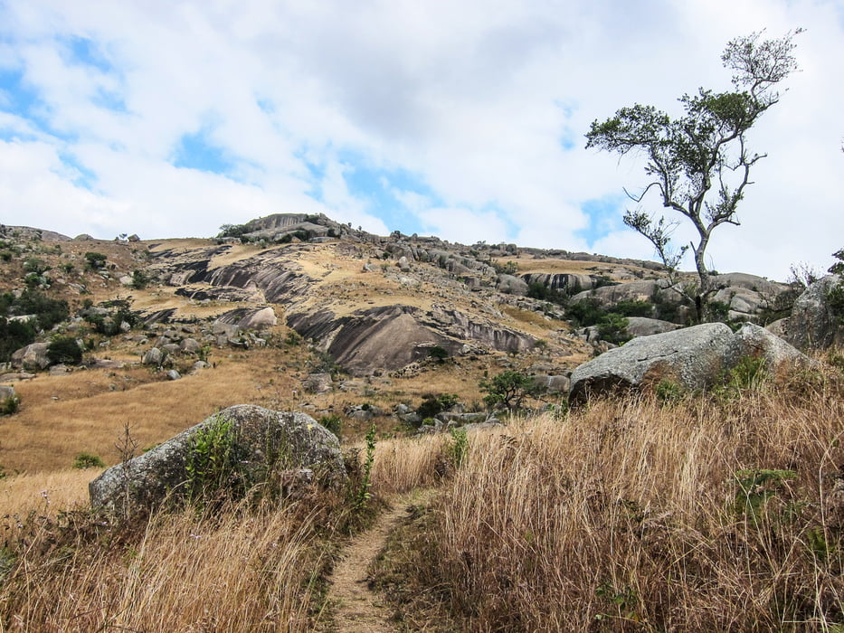
The best view of Sibebe is experienced walking up it! You are best off following the official route via Sibebe Hiking Trails (yellow/white signs). On the way up or down you’ll be able to enjoy Sibebe’s incredible views and explore various caves.
Walking tours start from the visitor centre at Mbuluzi Gate which opens at 8:00.
Další informace v části
http://www.sibebe.co.sz/Galerie tras
Trasa mapa a výškový profil
Minimální výška 1100 m
Maximální výška 1396 m
Více o autorovi turné

|
minis |
Komentáře

To reach the Sibebe visitors' centre from Mbabane, follow Gwamile Street to the intersection with Somhlolo Street. Then follow signs to Pine Valley. A short distance out of town, you will see additional signs for Sibebe Walking Trails and Sibebe Community Trust. The narrow tarred road now winds through the beautiful Pine Valley for about 30 km.
Trasy GPS
Trackpoints-
GPX / Garmin Map Source (gpx) download
-
TCX / Garmin Training Center® (tcx) download
-
CRS / Garmin Training Center® (crs) download
-
Google Earth (kml) download
-
G7ToWin (g7t) download
-
TTQV (trk) download
-
Overlay (ovl) download
-
Fugawi (txt) download
-
Kompass (DAV) Track (tk) download
-
Formulář trasy (pdf) download
-
Původní soubor autora (gpx) download
Více o autorovi turné
|
|
minis |
Přidat do oblíbených
Odebrat z oblíbených položek
Upravit značky
Open track
Moje hodnocení
Hodnotit