

Sehr schöne Bike & Hike - Tour von Garsella auf die Kellaspitze.
Achtung: Der Weg von der Stafelfederalpe auf die Kellaspitze ist sehr alpin; es gibt einige Drahtseile und ist eine ordentliche Kletterei. Auf jeden Fall sind hier feste Bergschuhe und Bergerfahrung notwendig! Keinesfalls mit Bikeschuhen aufsteigen!
Startpunkt ist Garsella an der Abzweigung nach Marul. Hier die asphaltierte Straße hoch nach Marul fahren. Weiter auf einer ebenfalls asphaltierten Strass zur Stafelfederalpe durch eine wunderschöne Almlandschaft.
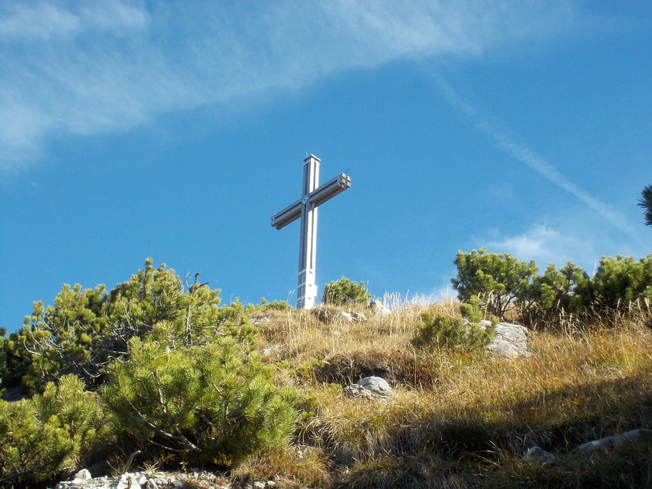
Hier das Bike abstellen und zu Fuß auf dem ausgeschilderten Weg rauf zur Kellaspitze. Für den Weg hin und zurück ca. 2,5 Stunden einplanen. Der Auf- und Abstige muß teilweise auf allen Vieren bewältigt werden, teilweise ausgesetzt und ein bisschen Kletterei ist auch bei.
Zurück zur Alpe und dann fahren wir noch mal weiter, ein kleines Stückchen bergauf und dann gehts abwärts nach Garsella.
Další informace v části
http://www.grosseswalsertal.at/system/web/default.aspx?sprache=1Galerie tras


Trasa mapa a výškový profil
Minimální výška 726 m
Maximální výška 2016 m
Více o autorovi turné
|
|
Wayneschlegell |
Komentáře

Anfahrt über die Autobahn, Abfahrt Nenzing, über Thüringen nach Garsella.
Trasy GPS
Trackpoints-
GPX / Garmin Map Source (gpx) download
-
TCX / Garmin Training Center® (tcx) download
-
CRS / Garmin Training Center® (crs) download
-
Google Earth (kml) download
-
G7ToWin (g7t) download
-
TTQV (trk) download
-
Overlay (ovl) download
-
Fugawi (txt) download
-
Kompass (DAV) Track (tk) download
-
Formulář trasy (pdf) download
-
Původní soubor autora (gpx) download
Více o autorovi turné
|
|
Wayneschlegell |
Přidat do oblíbených
Odebrat z oblíbených položek
Upravit značky
Open track
Moje hodnocení
Hodnotit