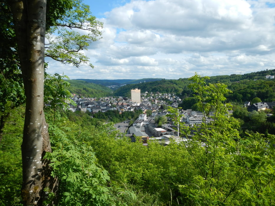
Tour ab Idar Markplatz über den Finkenberg, vorbei am Stadion im Haag und über den Mühlenberg nach Veitsrodt. Weiter nach Regulshausen und über den Huben nach Hintertiefenbach.
Retour vorbei am Flugplatz Göttschied hinunter ins Vollmersbachtal, weiter über den Wartehübel und den Bismarckturm zum Ausgangspunkt am Marktplatz Idar.
Die Tour führt über Teile der Traumschleife "Kupfer-Jaspis-Pfad" (Saar-Hunsrück-Steig) und über viele Trails der "Edelstein-CTF" des RSC Blitz Idar-Oberstein e.V.
(http://www.gps-tour.info/de/touren/detail.131683.html)
Anfahrt: Marktplatz im Stadtteil Idar von Idar-Oberstein (Für Navigation: Am Markt, 55743 Idar-Oberstein).
timorisch.blogspot.de/2015/05/mountainbike-tour-am-19-mai-2015.html
Další informace v části
http://www.gpsies.com/map.do?fileId=mgnjrageyjvgdecpGalerie tras
Trasa mapa a výškový profil
Komentáře

Trasy GPS
Trackpoints-
GPX / Garmin Map Source (gpx) download
-
TCX / Garmin Training Center® (tcx) download
-
CRS / Garmin Training Center® (crs) download
-
Google Earth (kml) download
-
G7ToWin (g7t) download
-
TTQV (trk) download
-
Overlay (ovl) download
-
Fugawi (txt) download
-
Kompass (DAV) Track (tk) download
-
Formulář trasy (pdf) download
-
Původní soubor autora (gpx) download


