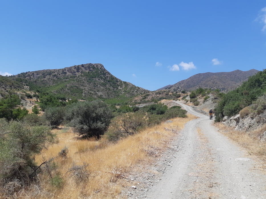
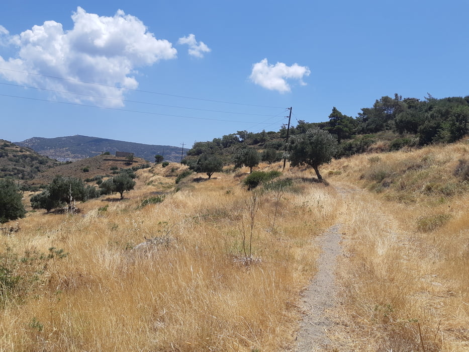
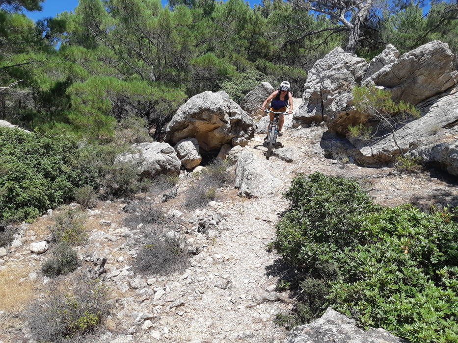
XC tour with short enduro trail (150 m elevation difference). Short segments of paved road. You can stop in Ammopi for refreshemt in the sea or in the bar. Enduro trail is S0 and S1 difficulty.
Galerie tras
Trasa mapa a výškový profil
Minimální výška -4 m
Maximální výška 281 m
Komentáře

Trasy GPS
Trackpoints-
GPX / Garmin Map Source (gpx) download
-
TCX / Garmin Training Center® (tcx) download
-
CRS / Garmin Training Center® (crs) download
-
Google Earth (kml) download
-
G7ToWin (g7t) download
-
TTQV (trk) download
-
Overlay (ovl) download
-
Fugawi (txt) download
-
Kompass (DAV) Track (tk) download
-
Formulář trasy (pdf) download
-
Původní soubor autora (gpx) download
Přidat do oblíbených
Odebrat z oblíbených položek
Upravit značky
Open track
Moje hodnocení
Hodnotit


