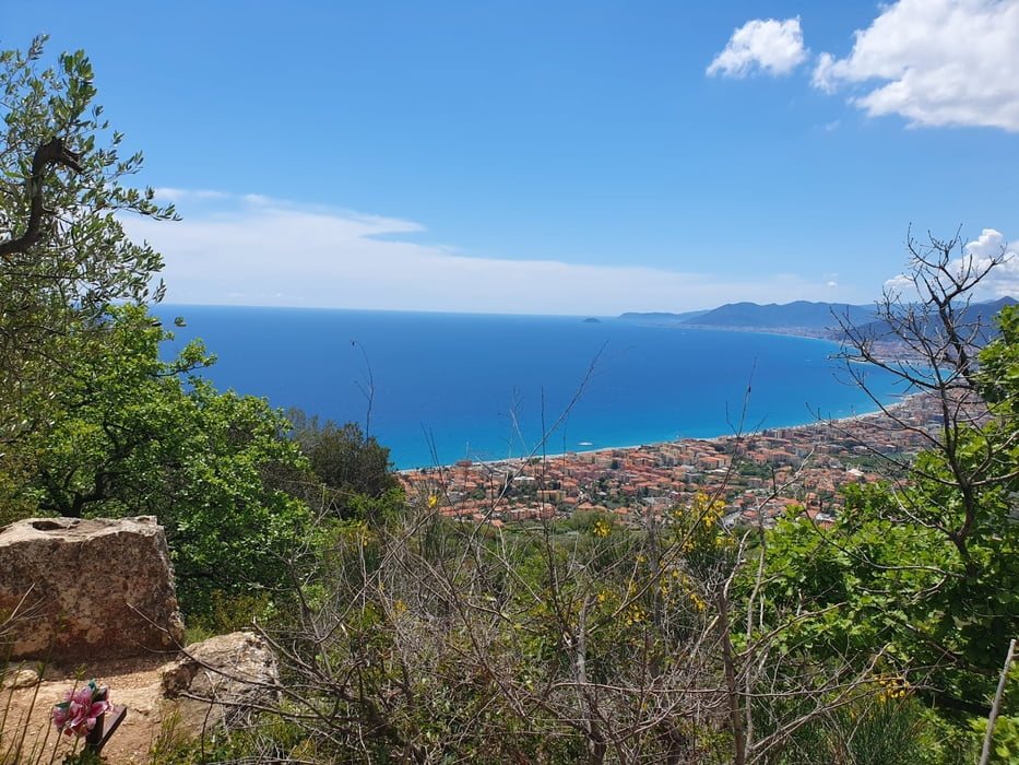
Schöne Tour aus Finale heraus bis zur Nato Base. Super Fernsichten, tolle Abfahrten, nette Menschen, gutes Essen und noch viel mehr.
Schöne schmale Wege für alle Level und für jeden etwas.
Meine Empfehlung.
Galerie tras
Trasa mapa a výškový profil
Minimální výška 12 m
Maximální výška 1020 m
Komentáře

Finale Ligure siehe Karte, Parken ist schwierig jedoch machbar, am besten Einheimische fragen die wissen was wo möglich ist.
Trasy GPS
Trackpoints-
GPX / Garmin Map Source (gpx) download
-
TCX / Garmin Training Center® (tcx) download
-
CRS / Garmin Training Center® (crs) download
-
Google Earth (kml) download
-
G7ToWin (g7t) download
-
TTQV (trk) download
-
Overlay (ovl) download
-
Fugawi (txt) download
-
Kompass (DAV) Track (tk) download
-
Formulář trasy (pdf) download
-
Původní soubor autora (gpx) download
Přidat do oblíbených
Odebrat z oblíbených položek
Upravit značky
Open track
Moje hodnocení
Hodnotit


