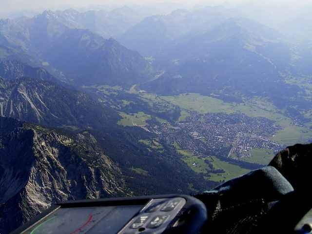
Mittelschwere Tour im Oberstdorfer Gebiet.
(ähnlich der Kurzstrecke vom Feneberg Mountainbikemorathon Oberstdorf, ohne die Fahrten durch die Wiesenpassagen -> google: Feneberg MTB Marathon
Oberstdorf Nebelhornbahn – Rubi – Reichenbach – Gaisalpe – Wallraffweg – Breitenberg – Flachsröste – Seilbahnstation Seealpe (Nebelhornbahn) – Faltenbachweg – Kühberg – Gruben – Spielmannsau – Burgstall – Ried – Birgsau – Talstation Fellhornbahn – Schwand – Freibergsee – Ziegelbach – Nebelhornbahn.
Schwierigere Stellen sind von der Seealpe herunter nach Oberstdorf (ca. 5min abwärts schieben) und nach dem Freibergsee (schlechter Zustand, grober Schotter).
Verlängerbar ist die Tour in Spielmannsau (400hm weiter hoch - war gesperrt) oder in Schwand noch links auf die Kanzelwandrunde (ca. 1200hm) -> Beschreibung google: Feneberg MTB Marathon
Wandergebiet -> Rücksicht nehmen.
Další informace v části
http://www.oberstdorf.deGalerie tras
Trasa mapa a výškový profil
Minimální výška 786 m
Maximální výška 1265 m
Komentáře

Von der A7 bis Kempten, dort auf die A980 Richtung Lindau. An der Anschlußstelle Waltenhofen Richtung B19 Immenstadt - Sonthofen - Oberstdorf. Dort bis zur Nebelhornbahn / Eissporthalle fahren.
Parken ist in Oberstdorf fast überall kostenpflichtig, selbst auf dem Park und Ride Platz vor Oberstdorf.
Parken ist in Oberstdorf fast überall kostenpflichtig, selbst auf dem Park und Ride Platz vor Oberstdorf.
Trasy GPS
Trackpoints-
GPX / Garmin Map Source (gpx) download
-
TCX / Garmin Training Center® (tcx) download
-
CRS / Garmin Training Center® (crs) download
-
Google Earth (kml) download
-
G7ToWin (g7t) download
-
TTQV (trk) download
-
Overlay (ovl) download
-
Fugawi (txt) download
-
Kompass (DAV) Track (tk) download
-
Formulář trasy (pdf) download
-
Původní soubor autora (gpx) download
Přidat do oblíbených
Odebrat z oblíbených položek
Upravit značky
Open track
Moje hodnocení
Hodnotit


