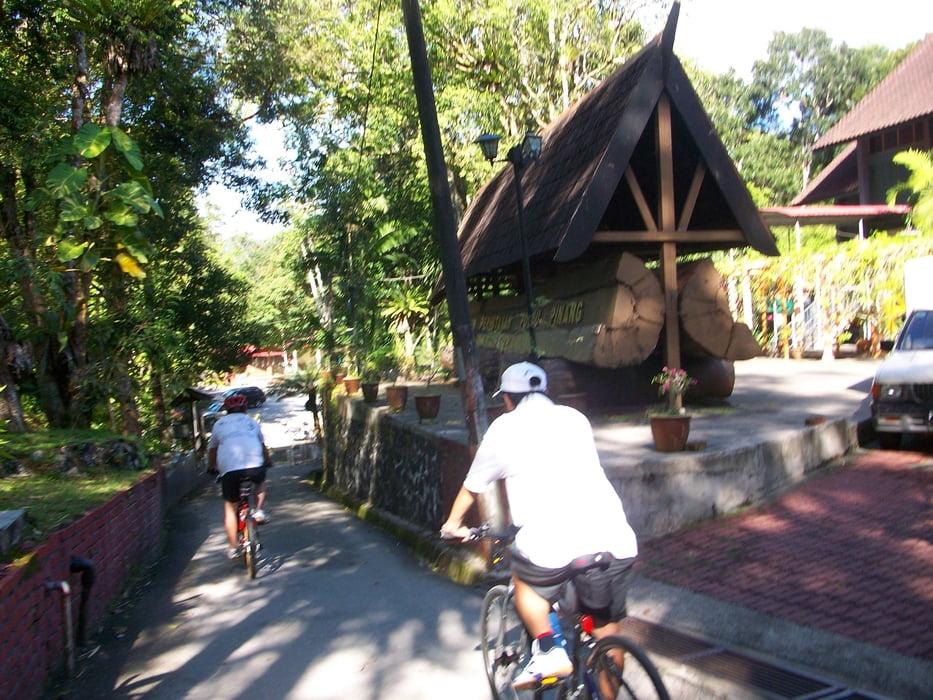
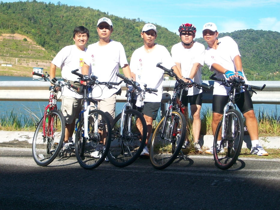
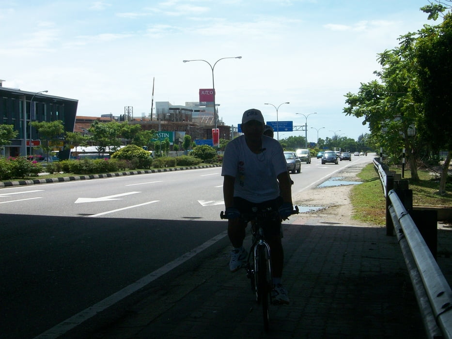
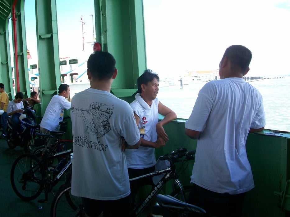
This is the first time we achieved 100km in a bike trip. We have five people in the team for this trip, Poh, Aik, Teong, Hooi and EngHong (me). We started from Bagan Ajam Wet Market after taking our early breakfast at about 6:30am. Unfortunately, I got a flat tire at about 1.5 km after the Bagan Ajam Toll. The tire was cut by a small piece of glass. We did have the spare tire and air pump but we did not have the spanner to unloose the hex nut on my old bike. We decided to return home to fix the bike. We did not disappoint of the delay and we restarted our journey at 7:30pm from Jalan Melur. We were heading to Penang and eventually decided to continue our original plan to Balik Pulau even we were an hour late.
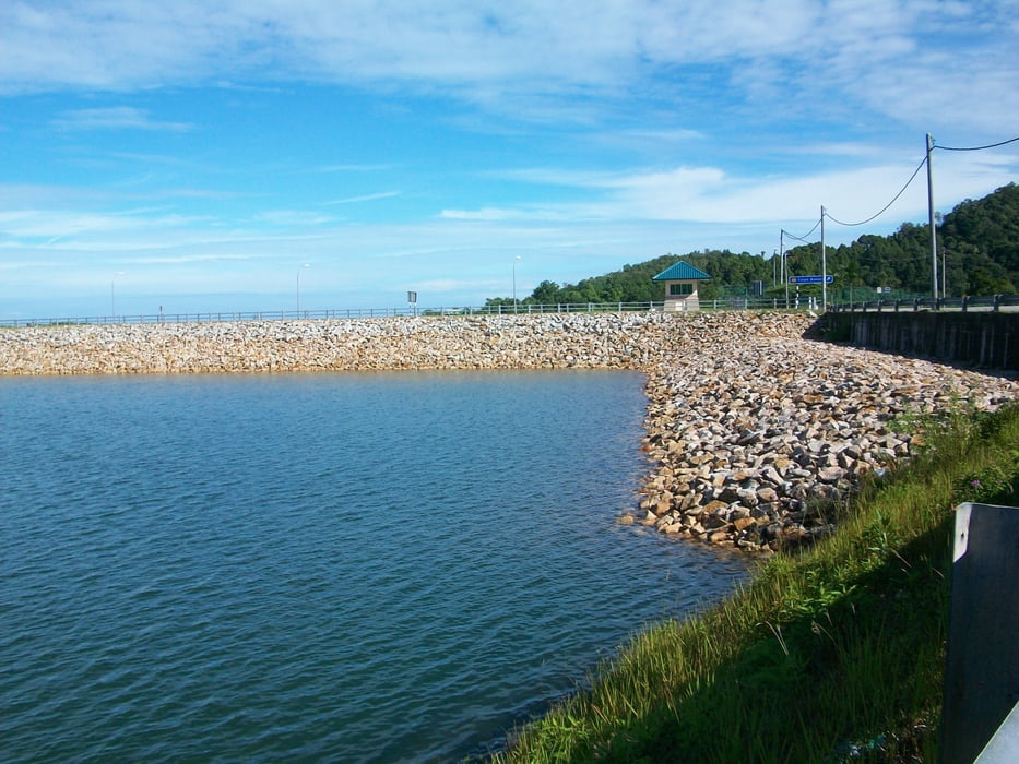
It was a sunny day. We reached Penang Jetty at 8am and we have about 30 minutes stopped at Telur Pahang @ 9:30am for our food. Before started the tough route, we had a stop in Teluk Bahang Recreational Park for restroom. The journey started getting tougher. We enjoyed the scenery along the dam and took some pictures. We took about an hour for 7 km ride up hill (about 600ft elevation from the park). We were all excited when reach the higher point (N5 24.915 E100 12.917, about 600m after Tropical Fruit Farm). The next 5km were just a down hill ride then followed by 7km flat road. We reached Balik Pulau at 11:30am.
The return road from Balik Pulau to Bayan Lepas was not easy. Everyone was about exhausted. We passed through a hill with about 400ft from ground. We had numbers of stops for refreshment due to very hot sunlight. We took ferry back to Butterworth at 2pm and reached Bagan Ajam at 2:30pm.
Další informace v části
http://www.mtbguru.com/trip/show_static/8386-bike-trip-round-penang-island-4th-jan-2009Galerie tras
Trasa mapa a výškový profil
Minimální výška -18 m
Maximální výška 223 m
Komentáře

Bagan Ajam -> Butterworth Jetty -> Penang Jetty -> Georgetown -> Tanjung Bungah -> Telur Bahang -> Balik Pulau -> Bayan Lepas -> Georgetown -> Penang Jetty -> Butterworth Jetty -> Bagan Ajam.
Trasy GPS
Trackpoints-
GPX / Garmin Map Source (gpx) download
-
TCX / Garmin Training Center® (tcx) download
-
CRS / Garmin Training Center® (crs) download
-
Google Earth (kml) download
-
G7ToWin (g7t) download
-
TTQV (trk) download
-
Overlay (ovl) download
-
Fugawi (txt) download
-
Kompass (DAV) Track (tk) download
-
Formulář trasy (pdf) download
-
Původní soubor autora (gpx) download
Přidat do oblíbených
Odebrat z oblíbených položek
Upravit značky
Open track
Moje hodnocení
Hodnotit

