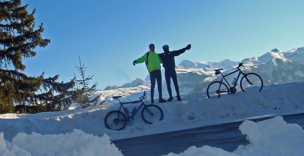
Winter ride up to the legendary Col de Joux Plane.
Armstrong suffered here in 2000 against Virenque. In 2006, it was the last climb on the "miracle" Landis day.
Další informace v části
http://www.cycling-challenge.com/col-de-joux-plane-in-winter/Galerie tras
Trasa mapa a výškový profil
Minimální výška 653 m
Maximální výška 1705 m
Komentáře

We started in Morrilon for 5 flat kms. At samoens just follow the signs to Joux Plane.
In summer a road bike is OK.
In winter, the route is kept fairly clear for the ski de Fond at the top, but the roads are still slippery.
Trasy GPS
Trackpoints-
GPX / Garmin Map Source (gpx) download
-
TCX / Garmin Training Center® (tcx) download
-
CRS / Garmin Training Center® (crs) download
-
Google Earth (kml) download
-
G7ToWin (g7t) download
-
TTQV (trk) download
-
Overlay (ovl) download
-
Fugawi (txt) download
-
Kompass (DAV) Track (tk) download
-
Formulář trasy (pdf) download
-
Původní soubor autora (gpx) download
Přidat do oblíbených
Odebrat z oblíbených položek
Upravit značky
Open track
Moje hodnocení
Hodnotit


