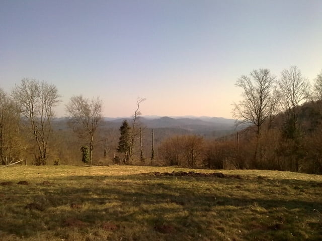
Randonnée allant de La Petite-Pierre à Niederbronn Les Bains en empreintant le GR 53 (rectangle rouge) pour aller à Niederbronn Les Bains et le GR 531 (rectangle bleu) pour revenir à La Petite-Pierre.
Ne pas tenir compte du tracé GPS sur la fin du parcours, suite à l'heure tardive et la fatigue j'ai coupé au plus court pour rejoindre le point de départ.
Mais il suffit de suivre le balisage "rectangle bleu" jusquà La Petite-Pierre.
Galerie tras
Trasa mapa a výškový profil
Minimální výška 183 m
Maximální výška 480 m
Komentáře

Départ sur le parking de l'office de tourisme de La Petite-Pierre.
Trasy GPS
Trackpoints-
GPX / Garmin Map Source (gpx) download
-
TCX / Garmin Training Center® (tcx) download
-
CRS / Garmin Training Center® (crs) download
-
Google Earth (kml) download
-
G7ToWin (g7t) download
-
TTQV (trk) download
-
Overlay (ovl) download
-
Fugawi (txt) download
-
Kompass (DAV) Track (tk) download
-
Formulář trasy (pdf) download
-
Původní soubor autora (gpx) download
Přidat do oblíbených
Odebrat z oblíbených položek
Upravit značky
Open track
Moje hodnocení
Hodnotit


