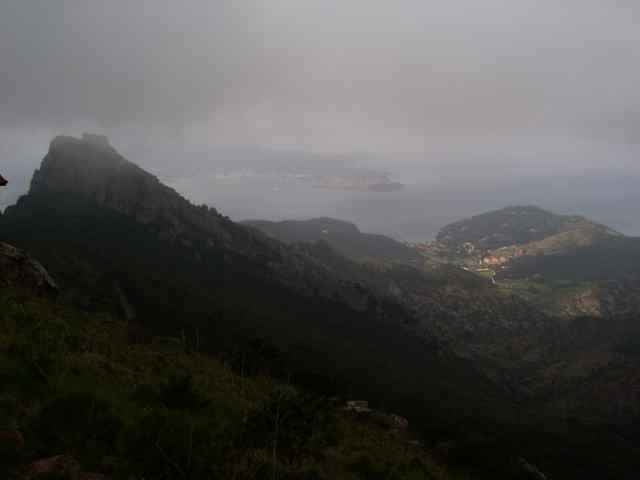
tour from Porto Azzuro, to Rio Elba (street), from there on the mountain top back to Porto Azzuro. Short before Porto Azzuro the track leaves the normal way down to Porto Azzuro (wsee other tracks on this side), using a hard downhill back to Aquabuona.
Hike duration about 10minutes, the rest you can drive.
Hike duration about 10minutes, the rest you can drive.
Další informace v části
http://www.gps-tour.info/tours/view.php?action=view&entity=list&limitstart=0&country=Italien&federal=ToskanaGalerie tras
Trasa mapa a výškový profil
Minimální výška -9 m
Maximální výška 513 m
Komentáře

Portoferrario in direction Porto Azzuro, park near the Aquabona golf center.
Trasy GPS
Trackpoints-
GPX / Garmin Map Source (gpx) download
-
TCX / Garmin Training Center® (tcx) download
-
CRS / Garmin Training Center® (crs) download
-
Google Earth (kml) download
-
G7ToWin (g7t) download
-
TTQV (trk) download
-
Overlay (ovl) download
-
Fugawi (txt) download
-
Kompass (DAV) Track (tk) download
-
Formulář trasy (pdf) download
-
Původní soubor autora (gpx) download
Přidat do oblíbených
Odebrat z oblíbených položek
Upravit značky
Open track
Moje hodnocení
Hodnotit


