

This is a hiking-track in the area of Kato Zakros (Eastern End of Crete).
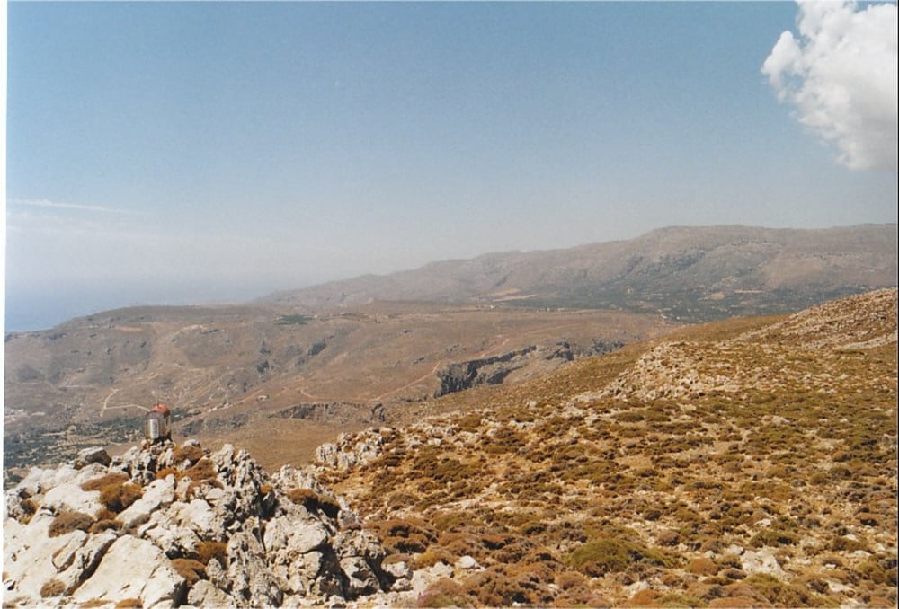
It is a very nice trip offering great panoramic views over the bay of Kato Zakros. It goes up onto the summit of Mt. Skopeli which dominates the cliffs north of Kato Zakros. From the summit, you have a wonderful view over the sea and the surrounding mountain area.
The walk is very well waymarked with signs and red dots (special thanks to Stella's Traditional in Kato Zakros!), and it is not too difficult to walk. You can take the same track for going up and down (the provided GPX-file only covers one way). From Skopeli you have the option to go on to the summit of Mt. Traostalos or follow a steep climb towards Pelekita Cave. Boths ways are also waymarked with red dots.
Take a good amount of water with you, because there is virtually no shadow on the way.
Další informace v části
http://www.stelapts.com/Galerie tras

Trasa mapa a výškový profil
Minimální výška 8 m
Maximální výška 388 m
Více o autorovi turné
|
|
Kretakulk |
Komentáře

Drive down to Kato Zakros and continue past the Taverns at the beach and follow the sign towards the archeological site of Kato Zakros. Drive past the Minoan palace to the mouth of the Gorge of Dead (at the right side). Some meters before the entrance to the Gorge is a wooden signpost pointing towards Azokeramos and Mt. Traostalos. This is the beginning of the track.
Trasy GPS
Trackpoints-
GPX / Garmin Map Source (gpx) download
-
TCX / Garmin Training Center® (tcx) download
-
CRS / Garmin Training Center® (crs) download
-
Google Earth (kml) download
-
G7ToWin (g7t) download
-
TTQV (trk) download
-
Overlay (ovl) download
-
Fugawi (txt) download
-
Kompass (DAV) Track (tk) download
-
Formulář trasy (pdf) download
-
Původní soubor autora (gpx) download
Více o autorovi turné
|
|
Kretakulk |
Přidat do oblíbených
Odebrat z oblíbených položek
Upravit značky
Open track
Moje hodnocení
Hodnotit