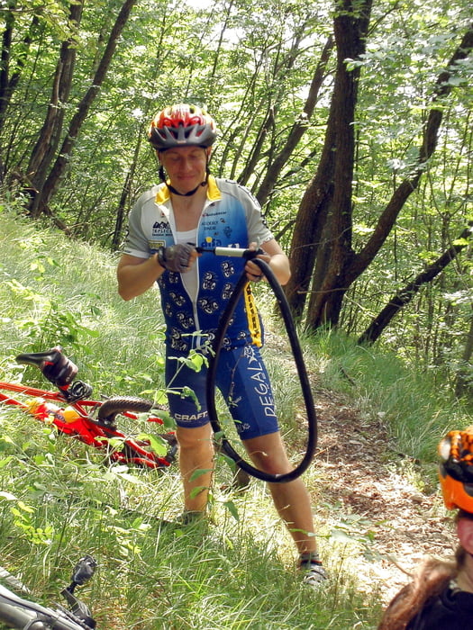
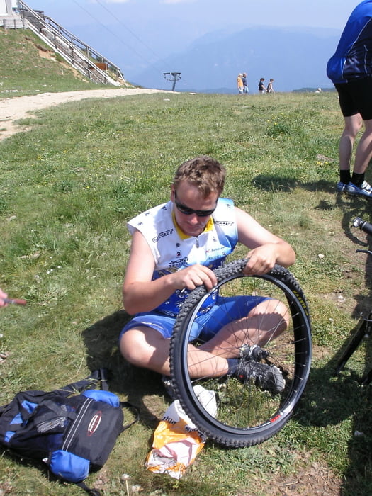
From Tignale to Tremosine, then down the hill to Limone, via ferry to Malcesine then lift to Monte Baldo exciting down hill to Malcesine and back.
I do not recomed to you use the way back from Limone we did. The part from Campione to Prabione - it is not biking it is not walking - that's climbing with bike on your back...
It is more comfortable to go through Tremosine on a normal road
Galerie tras
Trasa mapa a výškový profil
Minimální výška 65 m
Maximální výška 1750 m
Komentáře

Trasy GPS
Trackpoints-
GPX / Garmin Map Source (gpx) download
-
TCX / Garmin Training Center® (tcx) download
-
CRS / Garmin Training Center® (crs) download
-
Google Earth (kml) download
-
G7ToWin (g7t) download
-
TTQV (trk) download
-
Overlay (ovl) download
-
Fugawi (txt) download
-
Kompass (DAV) Track (tk) download
-
Formulář trasy (pdf) download
-
Původní soubor autora (gpx) download
Přidat do oblíbených
Odebrat z oblíbených položek
Upravit značky
Open track
Moje hodnocení
Hodnotit


