


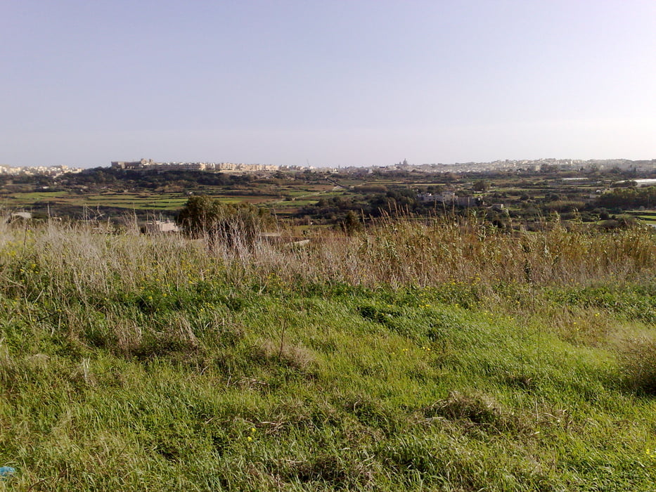
This tour is ideal if your hotel lyes somewhere in the north shore of the island. It is not difficult and 33% of the route you go upwards, 33% you go downwards and the rest it is flat. You drive partially along the country roads, but there´s not much traffic, except along the highway.
Mdina is a very beautiful city, within defensive walls, but believe it or not, it has around 500 inhabitants, most of them great grandchildren and great great grandchildren of people belonging to the nobility or whealthy persons. The poor people live in Rabat.
I made this tour kind of a cultural one, since I drove to archeological sites and to Mdina as final destination. Unfortunately, the "temples" Skorba and Ta Hagrat are nowadays nothing else but a couple of rocks. Time and men are guilty for destruction of this antique sites. There´s not much information about what people built the temples. Visiting it is not possible, since a fence protects the sites.
Be aware that some sections of the tour go up much in a short distance, so good condition is a must.
Galerie tras


Trasa mapa a výškový profil
Minimální výška 41 m
Maximální výška 231 m
Více o autorovi turné

|
alonso100 |
Komentáře

Trasy GPS
Trackpoints-
GPX / Garmin Map Source (gpx) download
-
TCX / Garmin Training Center® (tcx) download
-
CRS / Garmin Training Center® (crs) download
-
Google Earth (kml) download
-
G7ToWin (g7t) download
-
TTQV (trk) download
-
Overlay (ovl) download
-
Fugawi (txt) download
-
Kompass (DAV) Track (tk) download
-
Formulář trasy (pdf) download
-
Původní soubor autora (gpx) download
Více o autorovi turné
|
|
alonso100 |
Přidat do oblíbených
Odebrat z oblíbených položek
Upravit značky
Open track
Moje hodnocení
Hodnotit