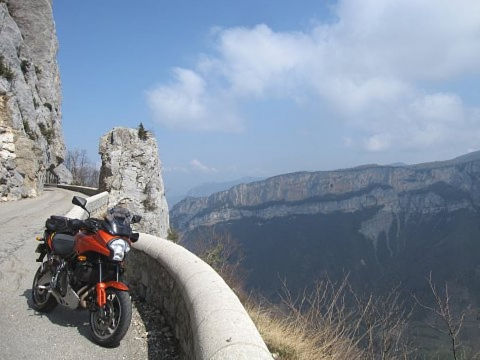
This route takes you through the beautiful and rugged Vercors. It takes you over the impressive Cirque Combe Laval, past le Grand Goulets and over col de Rousset which is followed by an great descend to the city Die. This small town is a good place to stop for something to eat and drink. Should you be tired of all the curves, you can take the D93 along the river Drôme back to Domaine de l’Amiral. But it is much more fun to complete the route. The landscape is lower now, friendlier, but just as beautiful. Via the Col de la Croix to the old village Beaufort-sur-Gervanne and then via Chabeuil back to the starting point of the route.
---
De route gaat door de prachtige, ruige Vercors. Over de indrukwekkende Cirque Combe Laval, langs le Grands Goulets, naar col de Rousset, waarna een gave afdaling volgt naar het stadje Die. In het stadje Die kunt u leuk even pauzeren. Wanneer u moe bent van alle bochten, dan kunt u vanaf Die via de D93 langs de rivier de Drôme terugrijden naar Domaine de l’Amiral. Maar veel leuker is het om de route verder te volgen. Het landschap is nu lager, vriendelijker, maar zeker zo mooi. Via de Col de la Croix naar het oude dorp Beaufort-sur-Gervanne om daarna via Chabeuil terug te rijden naar het beginpunt van de route.
---
Diese besonders schöne Tour führt durch die schöne, raue Vercors. Über der beeindruckende Cirque Combe Laval, entlang le Grands Goulets, zu der Col de Rousset und dan ein super abfahrt nach der kleines Stadt Die. Dieser Stadt ist ein bequemes möglichkeit um etwas zu essen und trinken. Wann Sie die viele Curven müde sind, dann fahren Sie zurück über der D93 entlang der Drôme nach Domaine de l’Amiral. Aber es macht viel mehr spass diese Tour weiter zu fahren. Das Landschaft ist jetzt niedriger, freundlicher, aber sicher gleich so schön. Über der Col de la Croix nach das altes Dorf Beaufort-sur-Gervanne und dann entlang Chabeuill zurück zur Domaine de l’Amiral.
---
Op www.motorrijden.fr kunt u deze track ook als route downloaden.
Další informace v části
http://www.motorrijden.frGalerie tras
Trasa mapa a výškový profil
Komentáře

Trasy GPS
Trackpoints-
GPX / Garmin Map Source (gpx) download
-
TCX / Garmin Training Center® (tcx) download
-
CRS / Garmin Training Center® (crs) download
-
Google Earth (kml) download
-
G7ToWin (g7t) download
-
TTQV (trk) download
-
Overlay (ovl) download
-
Fugawi (txt) download
-
Kompass (DAV) Track (tk) download
-
Formulář trasy (pdf) download
-
Původní soubor autora (gpx) download


