Přihlášení

Zapomenutý login?

Soubory cookie musí být akceptovány!
Funkce cookies ve vašem prohlížeči je deaktivována. Aktivujte prosím tuto funkci.

Ještě nejste členem?

Zaregistrujte se nyní
Přihlášení

Možné pouze pro přihlášené uživatele

Přihlaste se, abyste mohli tuto funkci používat.

Zapomenutý login?

Soubory cookie musí být akceptovány!
Funkce cookies ve vašem prohlížeči je deaktivována. Aktivujte prosím tuto funkci.

Ještě nejste členem?

Zaregistrujte se nyní
Filtr
Kategorie
Pokročilé filtry
  • Délka (km)
  • Výškoměr
Uložit filtr Obnovit filtr

TrackRank

QRCode

Technické údaje

Délka44,8 km Výškoměr0 m Sestup0 m Doba04:00 h:m Datum11.08.2011
Hodnocení Autor Krajina Faktor zábavy Náročnost Technika

Statistika

273 Přehledy Hodnocení 64 Downloady Průměr
Hodnotit
  • Formulář trasy
  • Příjezd
  • Downloady

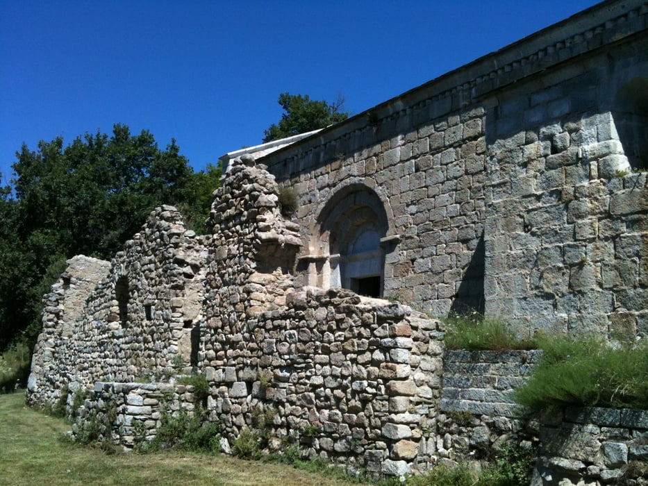
The uphill is on a paved road, just the last 2km are unpaved. The "Église Saint-Martin de Corsavy" just before reaching the village of Corsavy is definitely worth a stop. Before leaving the paved road towards the Tour de Batere you can cycle on westwards for 500m to take a rest in the "Refuge de Batère" (1450m), the food was excellent.

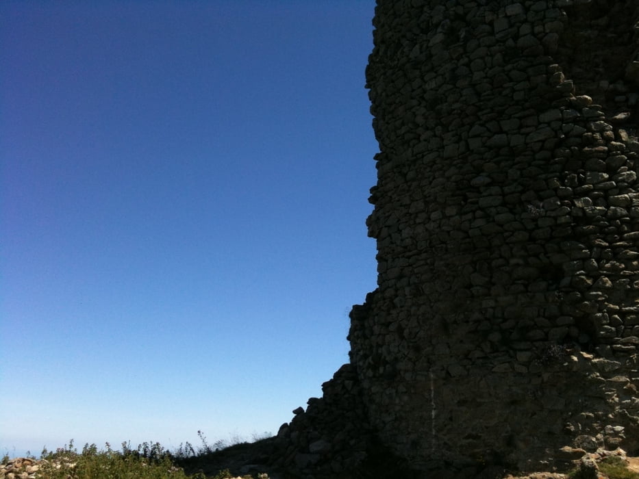
The top of the tour is marked by an old stone signaltower (Tour de Batère) , the view is stunning!!!!

From there you go down on unpaved, old miner's roads. Ever thought your bike's suspension parts are good? Well, if they survive the first part of the downhill, they really are. Nevertheless, the downhill is bumpy, but not difficult. You pass old mines and end up in Amelie les bains.

If you want, there are a few options to do the downhill on singletrails (hiking trails marked with a yellow stripe), but be warned: the trails are washed out and rocky, I don't recommend them.
 

Galerie tras

Trasa mapa a výškový profil

  • Open Street Map
  • Google
Minimální výška 99999 m Maximální výška -99999 m Detailní náhled

Více o autorovi turné

DonSegafredo
Členem od 2011

Odeslat soukromou zprávu

Komentáře

If you're coming from Ceret just drive through Amelie les bains and stop on the parking lot outside of amelie les bains. It's free and that's, where this gps-track starts from.

Trasy GPS

Trackpoints
  • GPX / Garmin Map Source (gpx) download
  • TCX / Garmin Training Center® (tcx) download
  • CRS / Garmin Training Center® (crs) download
  • Google Earth (kml) download
  • G7ToWin (g7t) download
  • TTQV (trk) download
  • Overlay (ovl) download
  • Fugawi (txt) download
  • Kompass (DAV) Track (tk) download
  • Formulář trasy (pdf) download
  • Původní soubor autora (gpx) download
Více o autorovi turné

DonSegafredo
Členem od 2011

Odeslat soukromou zprávu
Share track
Přidat do oblíbených
Odebrat z oblíbených položek
Upravit značky
Moje hodnocení
Hodnotit
Trasa: Up to the tower
Druh: Horské kolo
Délka: 44,8 km
Hodnoceno na:
Doba:
Den(y)
Hodina(y)
Minuta(y)
Hodnocení: Krajina Faktor zábavy Náročnost Technika